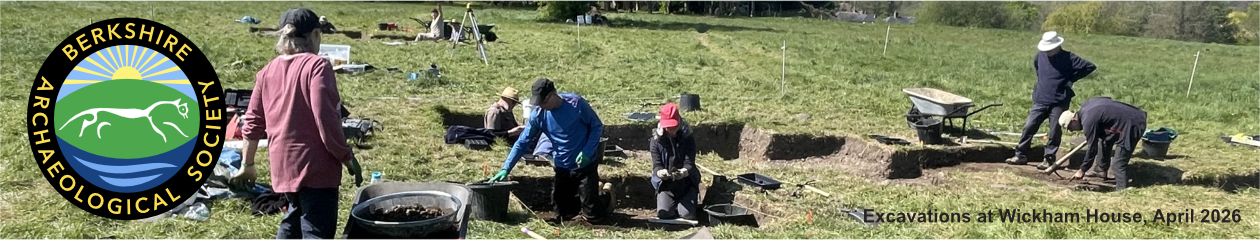
Part of a series of bulletins from the BAS excavations at Wickham House
Follow the project on our YouTube channel
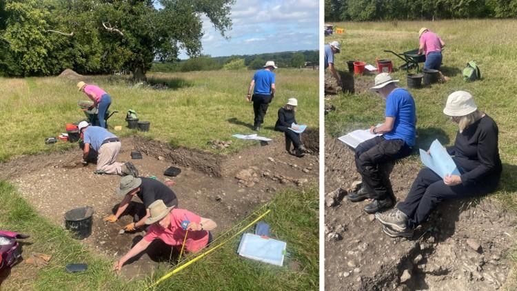
Attendees: Mike, Martin, John H, Carrollanne, Debbie S, Phil C, Alessa, James P, Eric, Rod, Nigel B, Tony, Gill, Andrew R and Keith
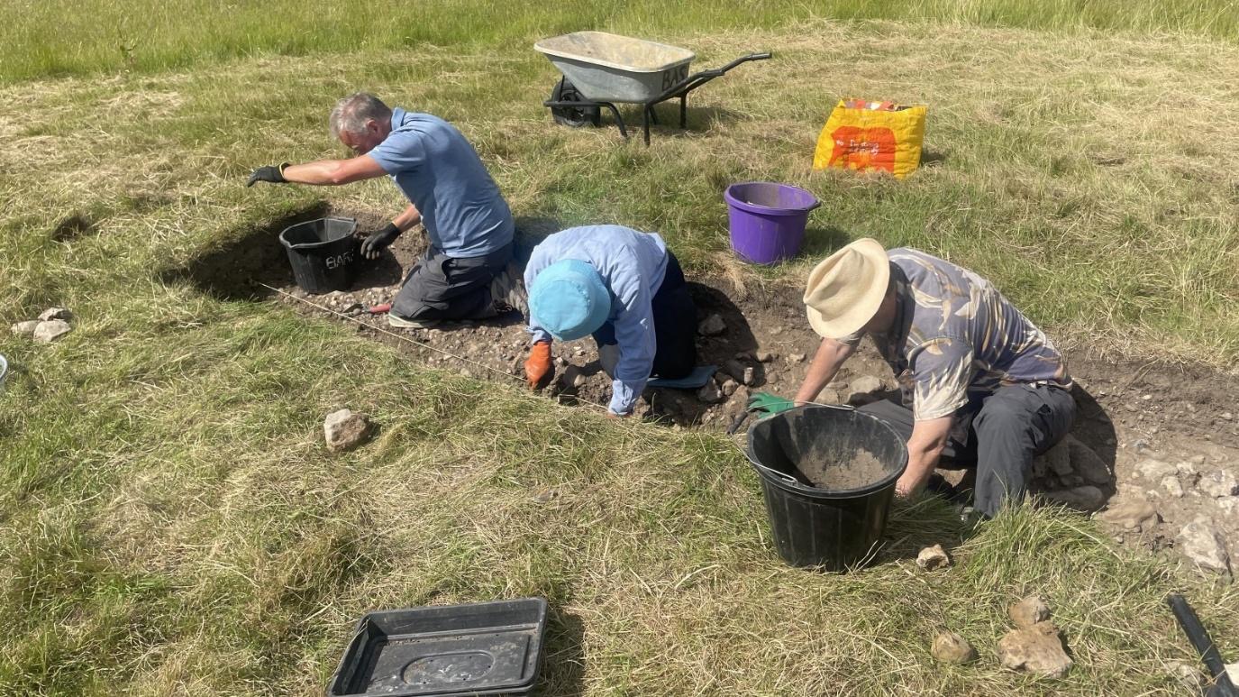
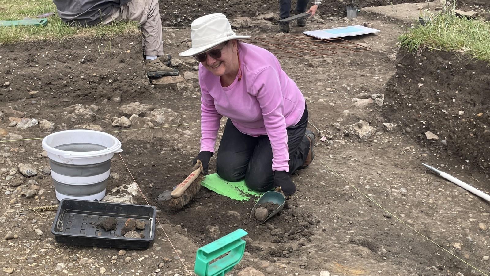
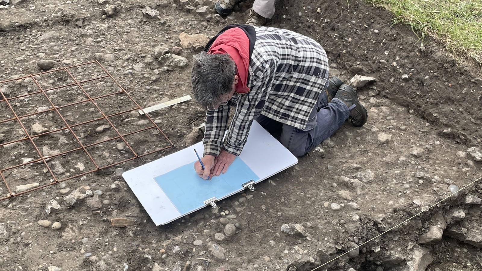
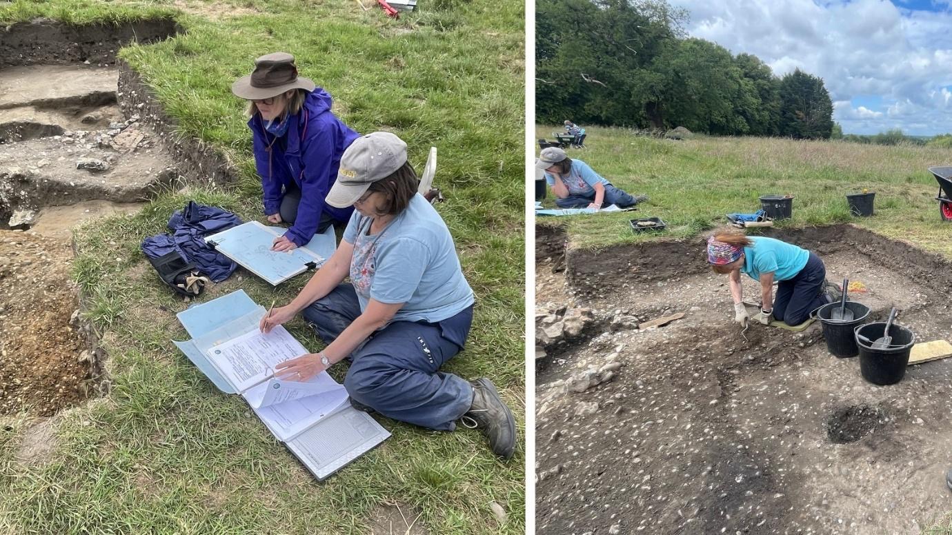
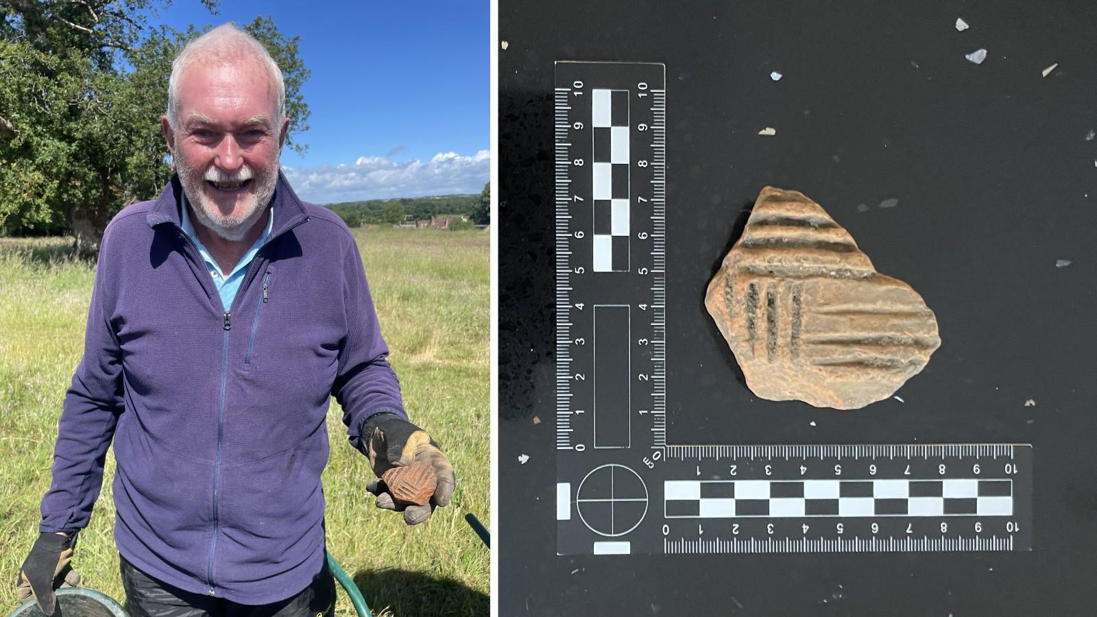
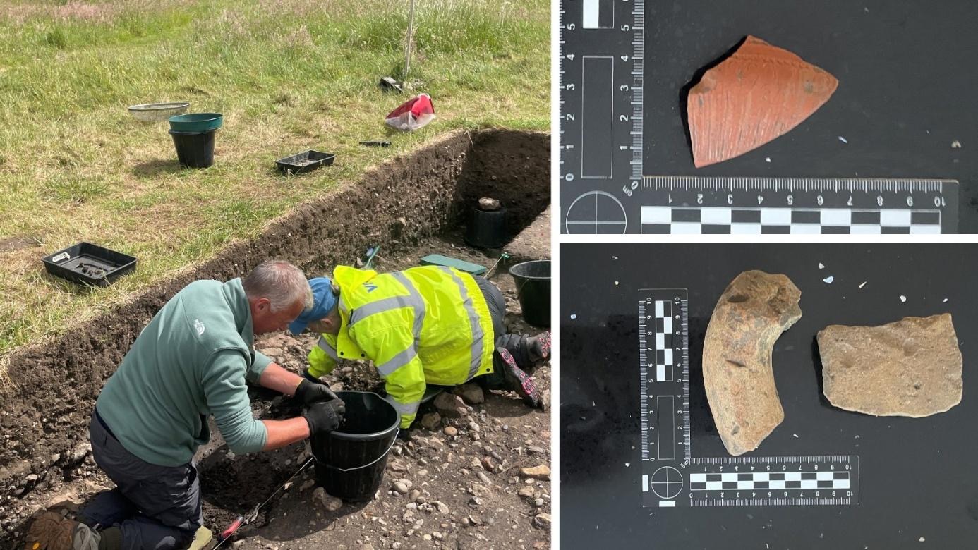
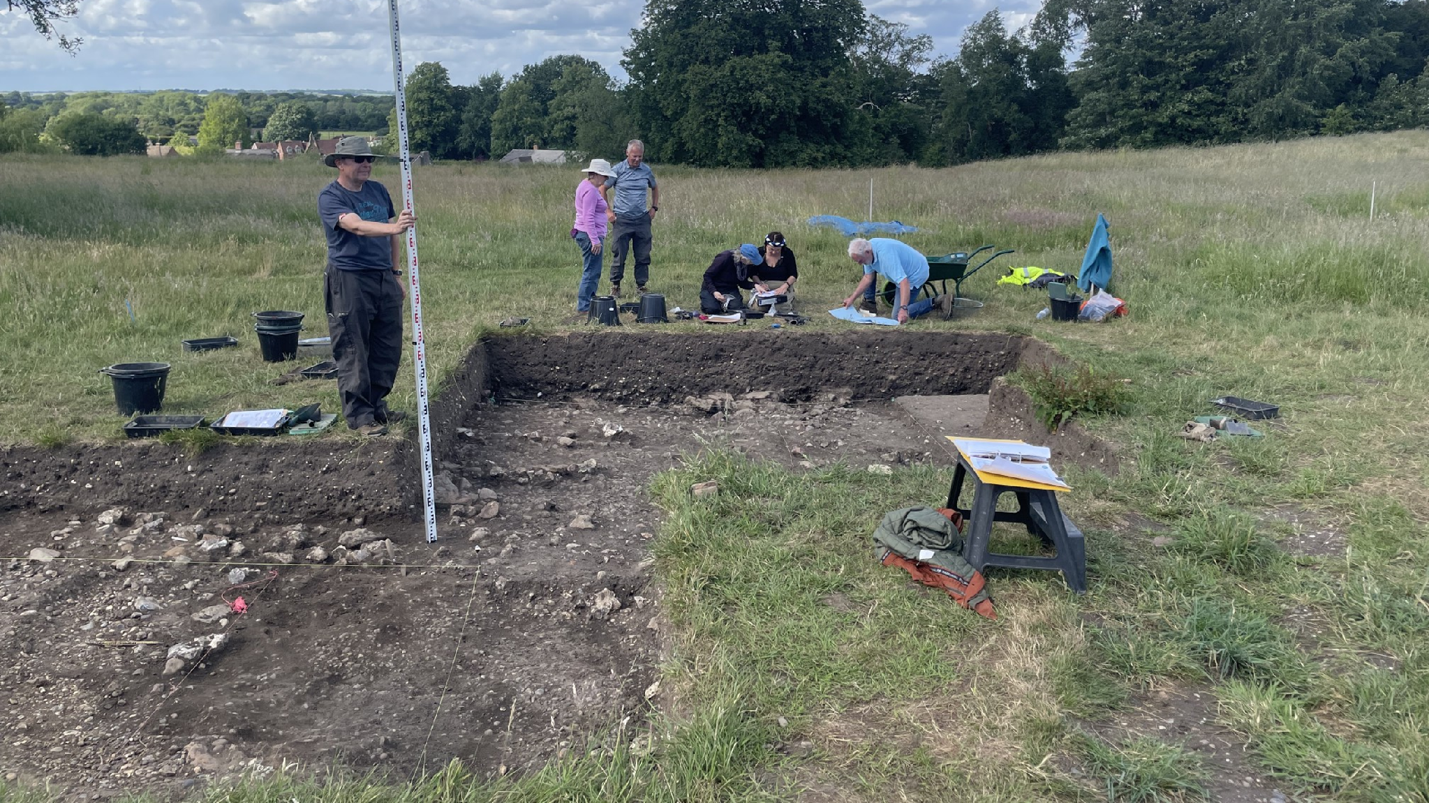
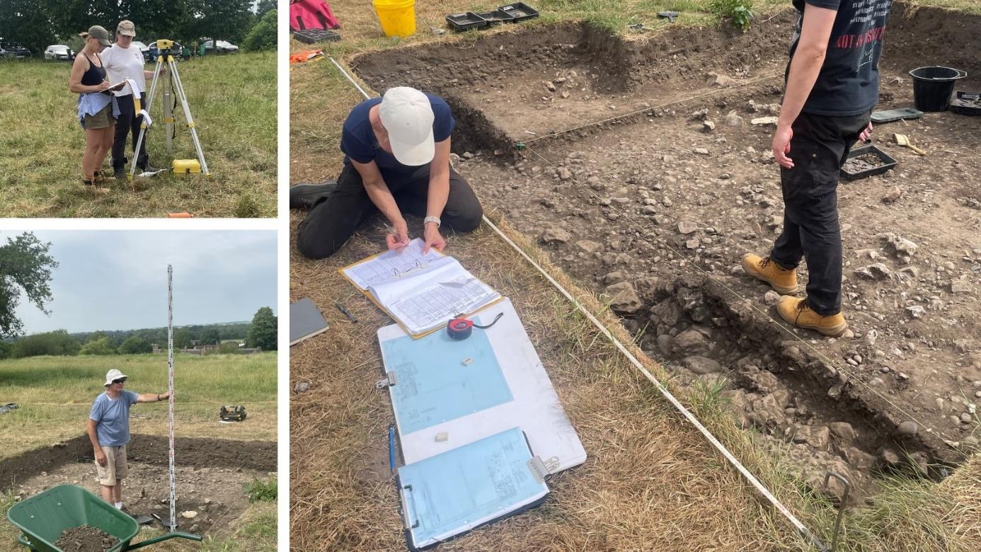
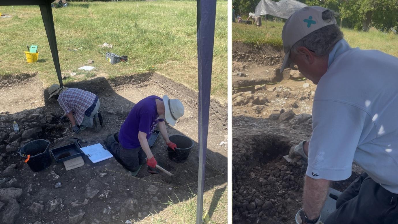
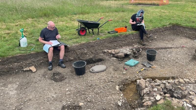
The focus in the four trenches opened this season is now on completing the recording of context sheets, plans and sections etc before the end of the season. This frees up resources to undertake a speculative test pitting survey of anomalies identified during the geophys survey to characterise them using 1m x 1m test pits with “spits” of 0.2m depth. Rod and Nigel B got this phase of the project underway with “test pit #1” in the southeast of the pasture on the north side of the Roman road, and soon revealed a horizon of Romano-British pottery and CBM suggesting that further investigation in future seasons may be required.

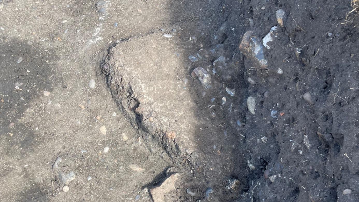
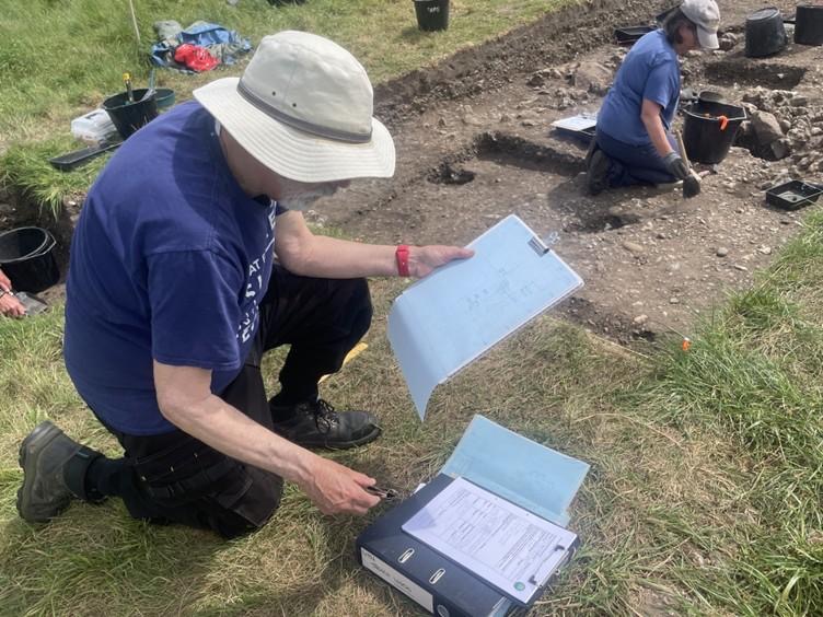
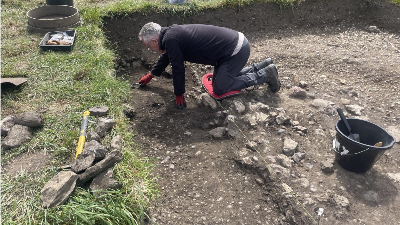
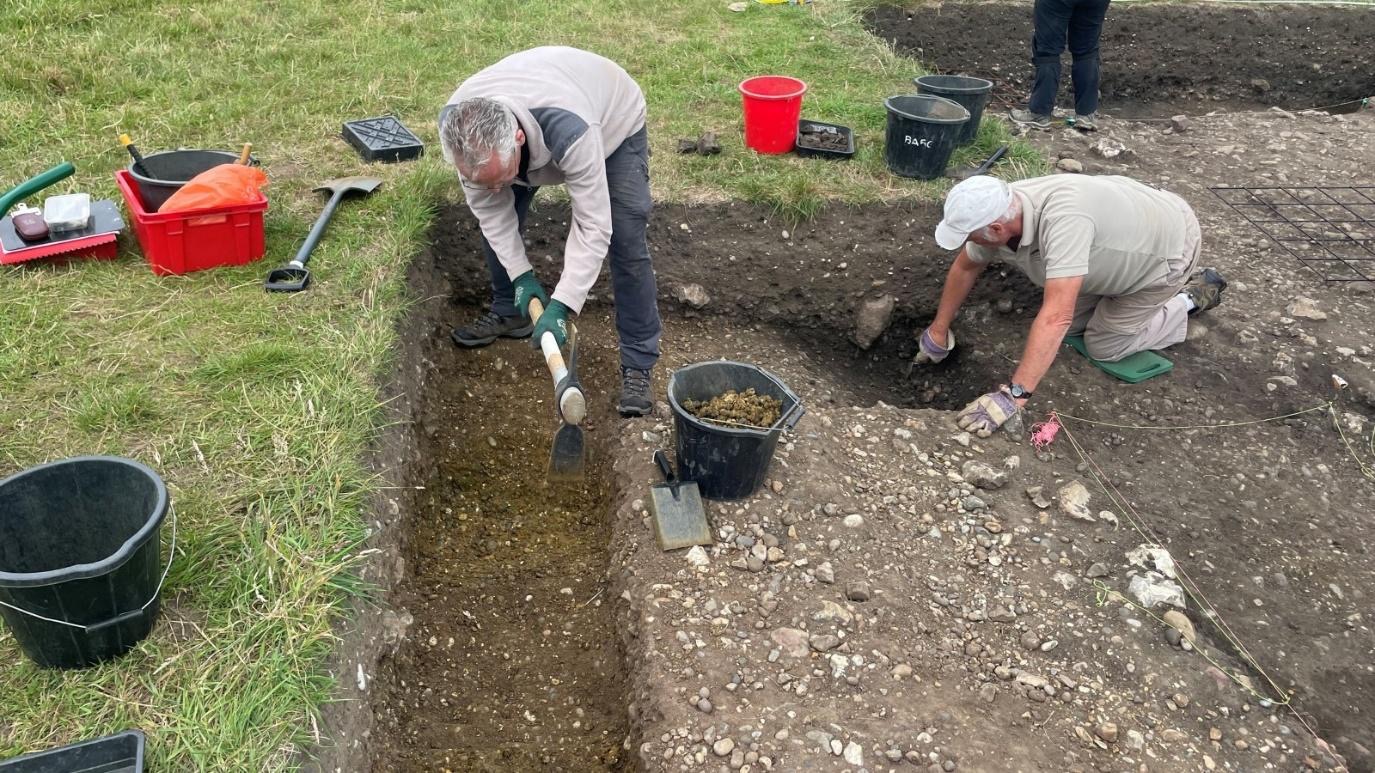
In Trench 15 Tony and Martin continue to explore the chronological relationship between the road and lane, with early indications suggesting that they were constructed at the same time. Excavation will continue into the “natural” to confirm this diagnosis… Elsewhere in Trench 15 work continued to complete excavation of the road and lane ditches and plan the surfaces revealed infront of Building #3, although extant features of the south end of this building remain elusive.
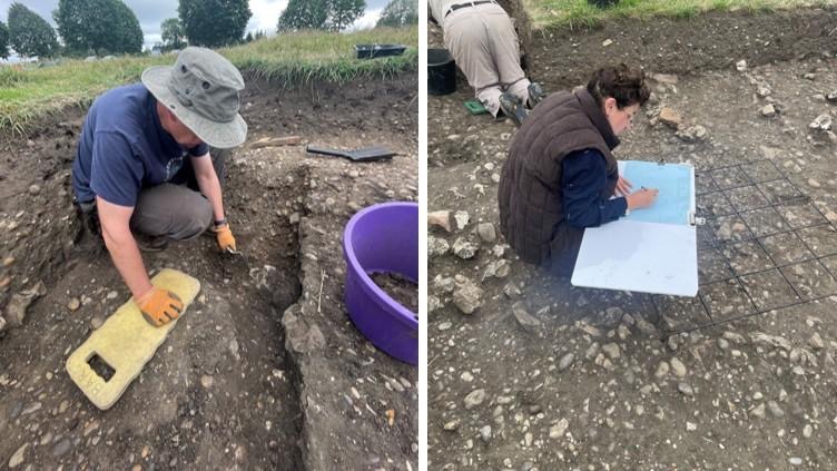
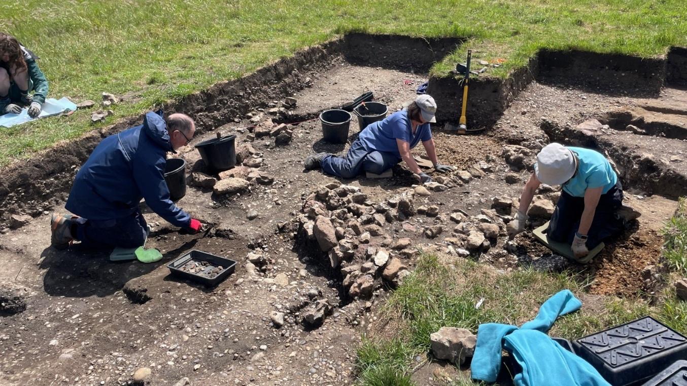
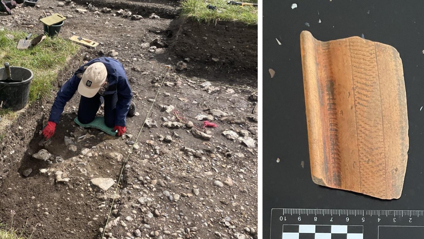
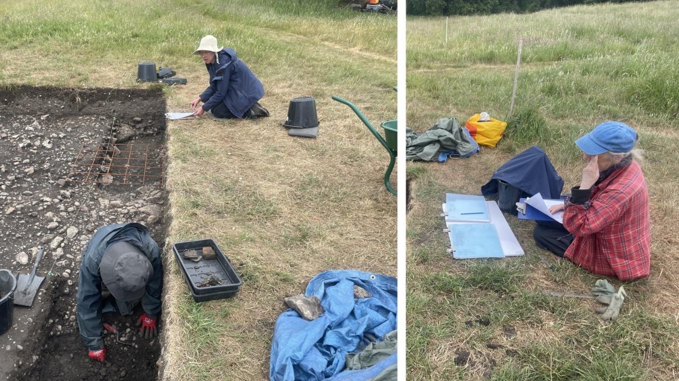
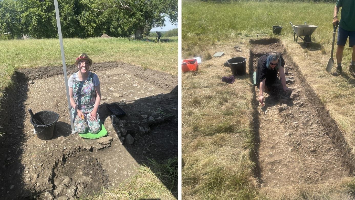
In Trench 16 Eric and Alessa were focusing on recording features thought to represent at least two other structures to the east of the corn drier. Slots were excavated to reveal sections, and plans/context sheets will be completed tomorrow.
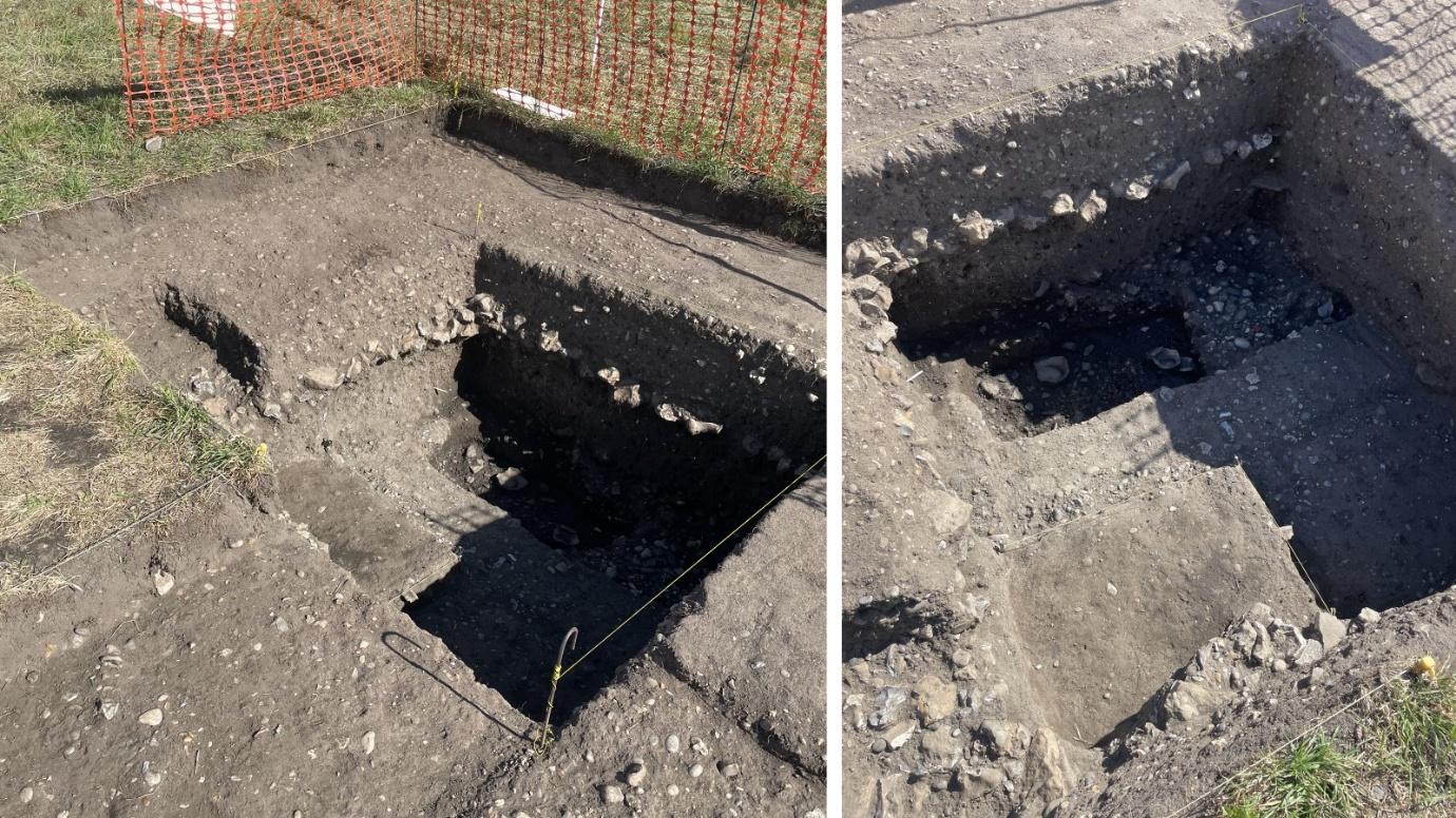
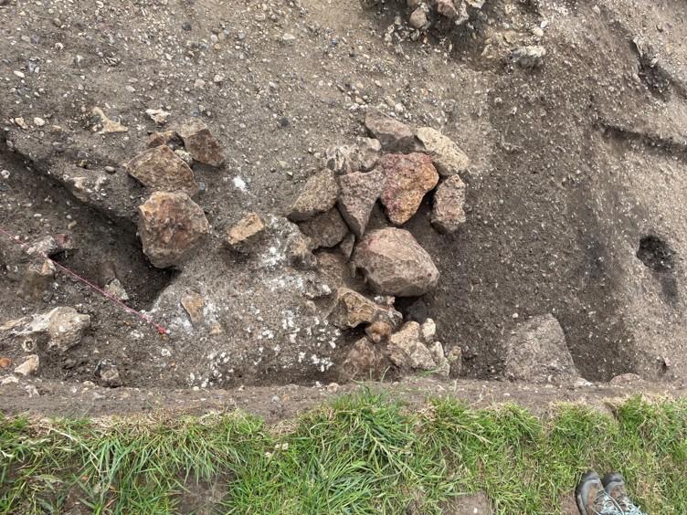
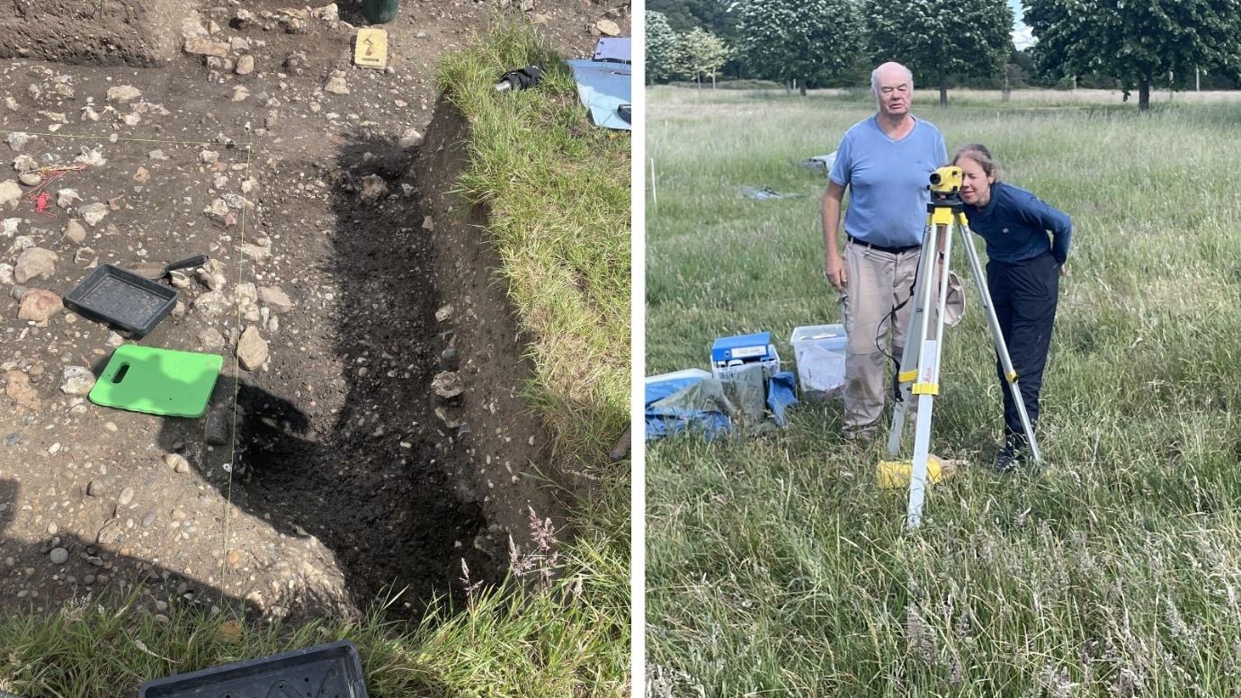
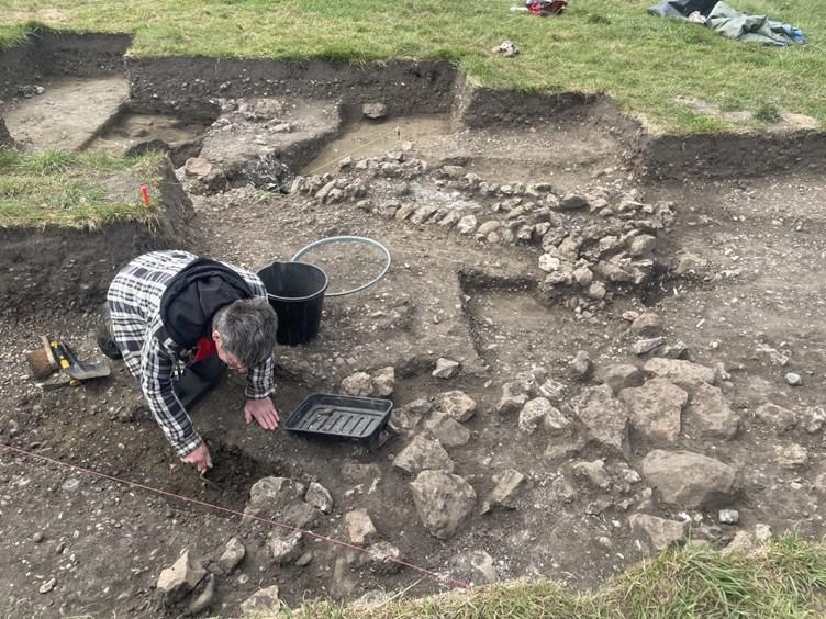
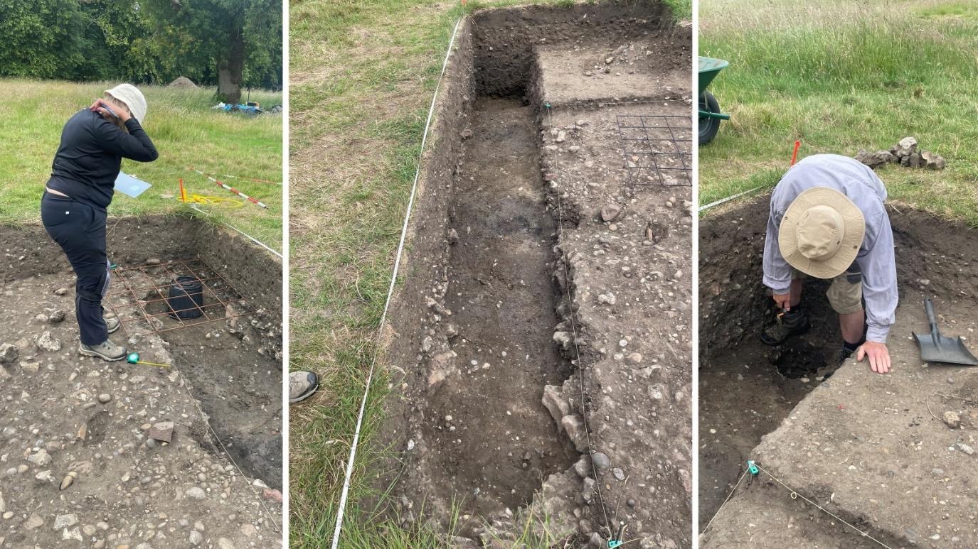
In Trench 18 work continued to extend the trench to the north, which revealed a further deposit of large flints/sarsens that may represent the southern ditch of the Roman road. Once recorded this will be excavated and recorded in section.