All the below projects have been undertaken within the last decade. They nearly always involved geophysical survey and some included excavations. The links below will take you to a summary of each project and, where available, a downloadable report.

Blounts Court
BAS2024_P02, BAS2022_07, BAS2019_P04
Investigating the archaeology of a former Tudor and medieval manor.

Frogmill, Hurley geophysics
BAS2024_P01
A geophysics project to investigate crop marks.

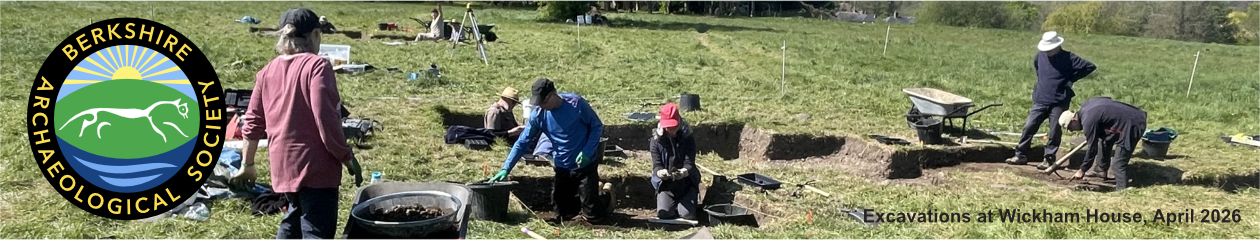
Wickham House
BAS2023_P07
A series of geophysics surveys to look for evidence of Romano-British settlement as well as further evidence of the intersection of the two Roman Roads. .


Cock Marsh
BAS2023_P05
The University of Reading are leading a gradiometer geophysics survey of a Bronze Age/Early Medieval site at a field containing around 20 barrows near the Thames.

Berkshire Romans Project 3
BAS2023_P02
This project is reviewing aspects of Roman Society. See also here

North of Streatley
BAS2023_P01
A wide spread of Roman coins and other artefacts has been discovered in a field north of Streatley. BAS has been asked to undertake a geophysics survey to assess the future archaeological potential of this site and provide additional context for the artefacts

Unlocking Old Windsor
BAS2022_P12
A project to consolidate, enhance and promote the archive of Brian Hope-Taylor’s excavations between 1953 and 1958. In co-operation with the Middle Thames Archaeology Partnership (MTAP) and the University of Reading

Inkpen
BAS2022_P11
Inkpen is a small village to the south of Hungerford in West Berkshire just to the north of the Hampshire Downs and the Walbury Hillfort.
The Society is partnering with David Thomas the chair of the Inkpen Parish Council and the Inkpen History Group to carry out geophysics surveys of 11 fields across the parish.

Cookham Paddock
BAS2022_P08, P10
BAS members have been involved in the Cookham Paddock project with UoR & MTAP

Sutton Estate
BAS2022_P09
The next area to investigate for the Roman Road to Bath from Wickham comprises several fields on the Sutton Estate, to the east of Radley Farm.


Hall Farm
BAS2022_P05
Geophysical survey of land at UoR Hall Farm

Arborfield Mill
BAS2022_P04
Archaeological Survey of the mill and surrounding area


Radley Farm
BAS2021_P04
To understand better the route taken by the Roman Road to Bath from its last known locations at Radley Farm, and then eastwards toward Ermin Street.

Near Wickham
BAS2021_P03
Investigating areas of the Wormstall Estate to explain Roman coin finds and track the road from Bath.

Runnymede
BAS2021_P01
A geophysics training event run by BAS with volunteers organised by the National Trust. See also here

Ankerwyke Priory
BAS2020_P01, BAS2019_P01
Geophysical surveys for the National Trust around the former medieval priory across the river from Runnymede.


La Hyde, Pangbourne
BAS2017_P05
Geophysical surveys of fields that may have been the site of a former Tudor village.

Cholsey
BAS2017_P04
Geophysical survey and excavations in the grounds of a building that started as a medieval hall house.

Aberleigh, Hall Farm, Arborfield
BAS2017_P01
Geophysical survey to trace the former Arborfield Manor and any earlier buildings.

Caversham Park
BAS2015_P02
Geophysical survey of former country estate in Caversham which in 2015 was BBC Caversham Park.