
Part of a series of bulletins from the BAS excavations at Wickham House Follow the project on our YouTube channel
Attendees: Nigel R, Janet R, Stuart, Julian, Philip, Phil U, Martin, Tess, Alessa, Kate, Millie, Thalia, Carol, Stewart and Keith
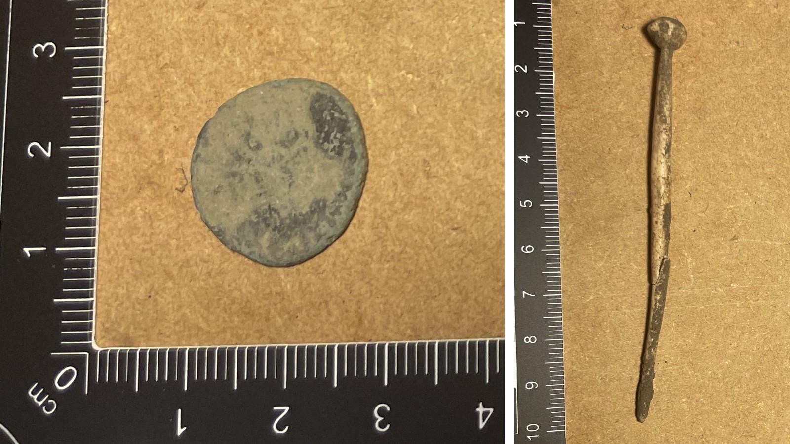
Day 9 got off to an exciting start in Trench 17 with the discovery of a bone hairpin by Nigel shown in Figure 1. Initial comparisons suggest that this may be a ‘Crummy Type 3a’ hairpin dating to the early 3rd century AD which aligns with the radiate coin found nearby within Trench 17 by Julian. Once these finds had been recorded, work in Trench 17 continued to reveal a spread of large flints at 0.60m depth consistent with the Ground Penetrating Radar (GPR) anomaly at the same depth. Once this surface has been recorded work will continue next week to explore the stratigraphy below and compare with the GPR anomalies identified.

In Trench 16 Stuart, Stewart, Millie, Thalia and Tess continued exploring the masonry wall and the surfaces revealed to the north. By the end of the day Stewart had revealed what promised to be the return of the masonry wall to the southeast – and many finds were made to the north of this feature including pottery, bone and iron slag.

In Trench 15 Janet, Martin, Phil, Carol and Kate continue the definition of the northeast facing ditch of the Ermin Street Roman road and exploring the stratigraphy of its intersection with the lane branching to the north that was excavated in 2025.

Work continued with the earth resistance geophysics in the southeast of the pasture led by Philip. This high resolution (0.5m) survey is starting to reveal new rectilinear features aligned with the Roman road previously unseen in past low resolution (1.0m) surveys. These new insights into the extent of this roadside settlement and the morphology of structures not only adds context to interpretation of discoveries within the trenches, but facilitates planning for future phases of excavation.
