
Part of a series of bulletins from the BAS excavations at Wickham House
Follow the project on our YouTube channel
Attendees: Philip R, Phil C, Eric, Andrew H, James, Geoff, Eric, Garry, Thalia, Tasha, Millie, Sophia, Fay, John S, Julian, Jill, Martin and Keith
The nine month since were last on site excavating at Wickham House have flown by – a blur of post-ex analysis of artefacts and drafting the interim stratigraphic analysis of the archaeology revealed in the 2025 season. As many of you will have seen from presentation given, the site we are working has phases of occupation dating to the Early/Late Roman and the Medieval Periods, with at least two Roman period buildings – and a large Medieval building location on top of the Roman road. The initial focus of the 2026 season excavation are to better define the morphology, function and dating of the Roman period buildings and how they interacted with the nearby Roman road, the lane heading to the north and the industrial areas discovered to the north on the site in 2025. A secondary focus will be to better understand the morphology, function and dating of the Medieval building.

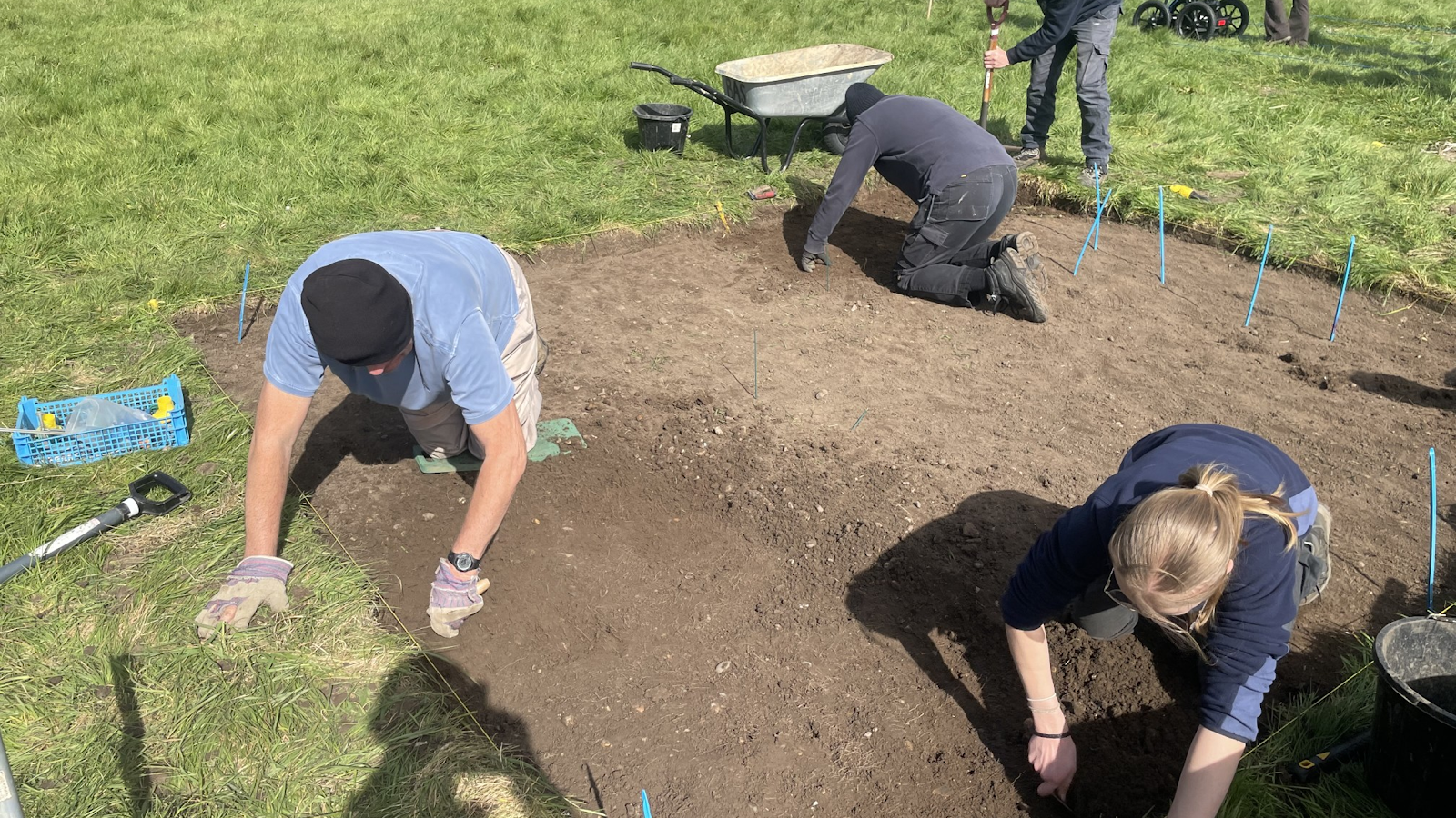
Once we had arrived on site, work soon got underway after Philip had used the GPS device to mark out the first of the two trenches to be opened this week on top of the intersection of the Ermin Street Roman road and lane branching to the north. The turves were removed and work started on removing the overburden as can be seen in Figure 2. Work progressed during the day as can be seen in Figure 3, but by the end of the afternoon the archaeological horizon had not reached, so work will continue tomorrow…

Elsewhere on the site two teams of volunteers were busy undertaking geophysics surveys. Geoff was leading a team working on repeating the high resolution earth resistance survey in the east of the site as seen in Figure 4 to see if ground conditions were moist enough to reveal details not seen the survey taken in 2025 when conditions were very dry.

Another team of volunteers was trying out the Ground Penetrating Radar survey device being trailed by the Society. Philip soon got the GPR device integrated with the GPS device and data was collected across a 40m x 40m area was surveyed using this new geophysics tool as shown in Figure 5. Work will continue into the evening to post-process both datasets to help site the next trench to be opened across the masonry walls discovered in 2025…
