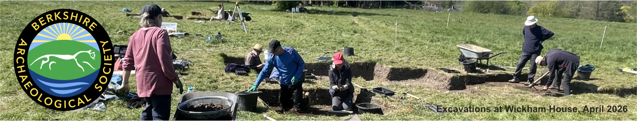
Part of a series of bulletins from the BAS excavations at Wickham House
Follow the project on our YouTube channel
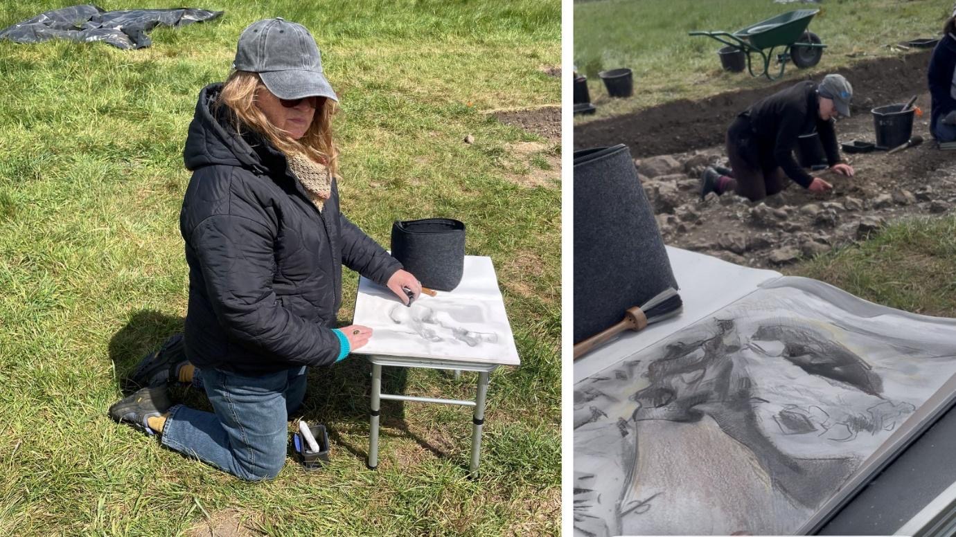
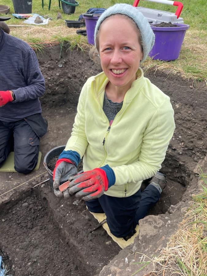
Attendees: Geoff, Jill, Rod, Malcolm, Joanne, Millie, Mike, Louise, Beth, Peter Ca, Peter Cl, Chloe, Lindsey and Keith
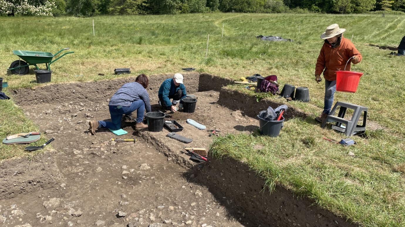
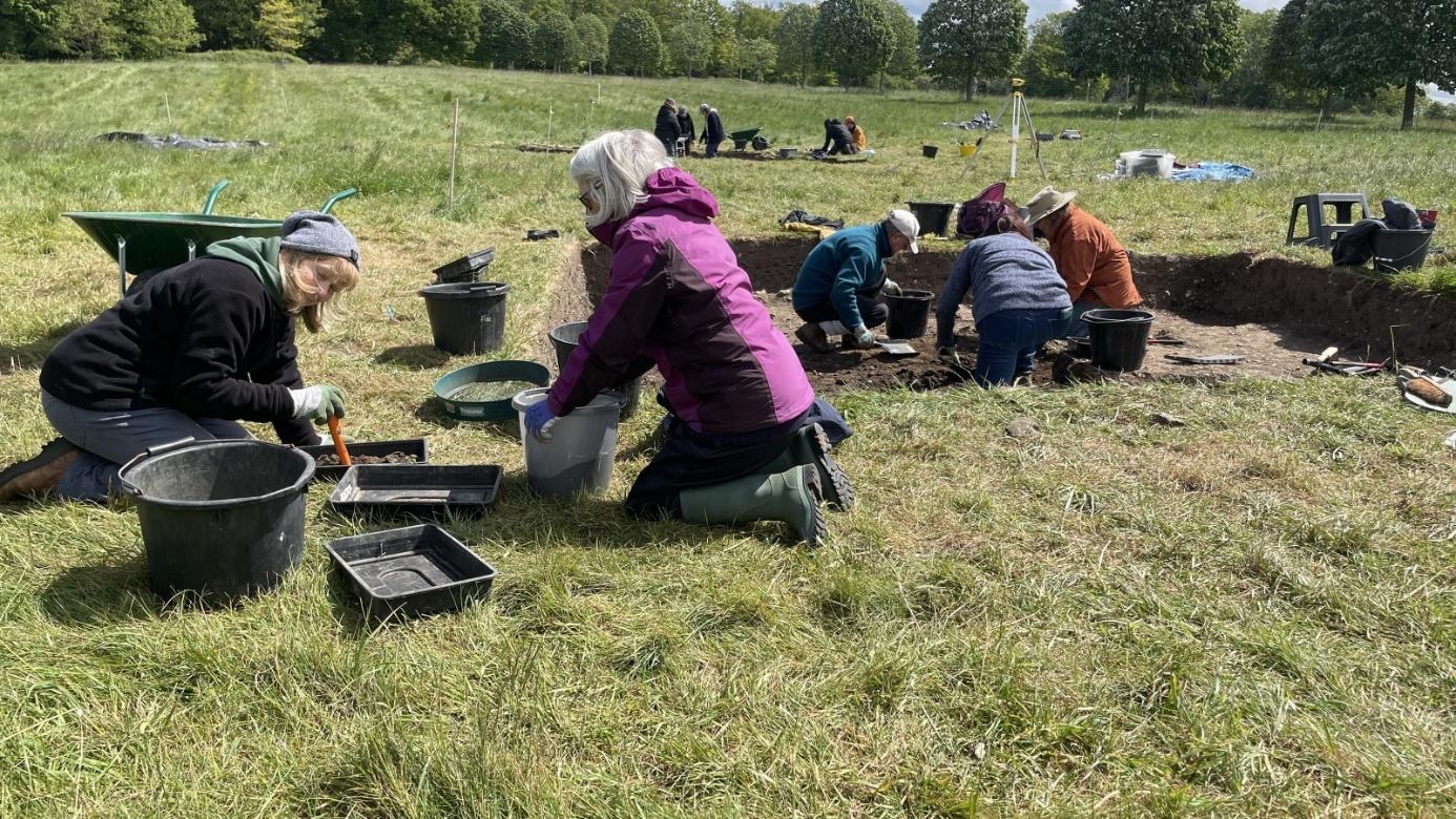
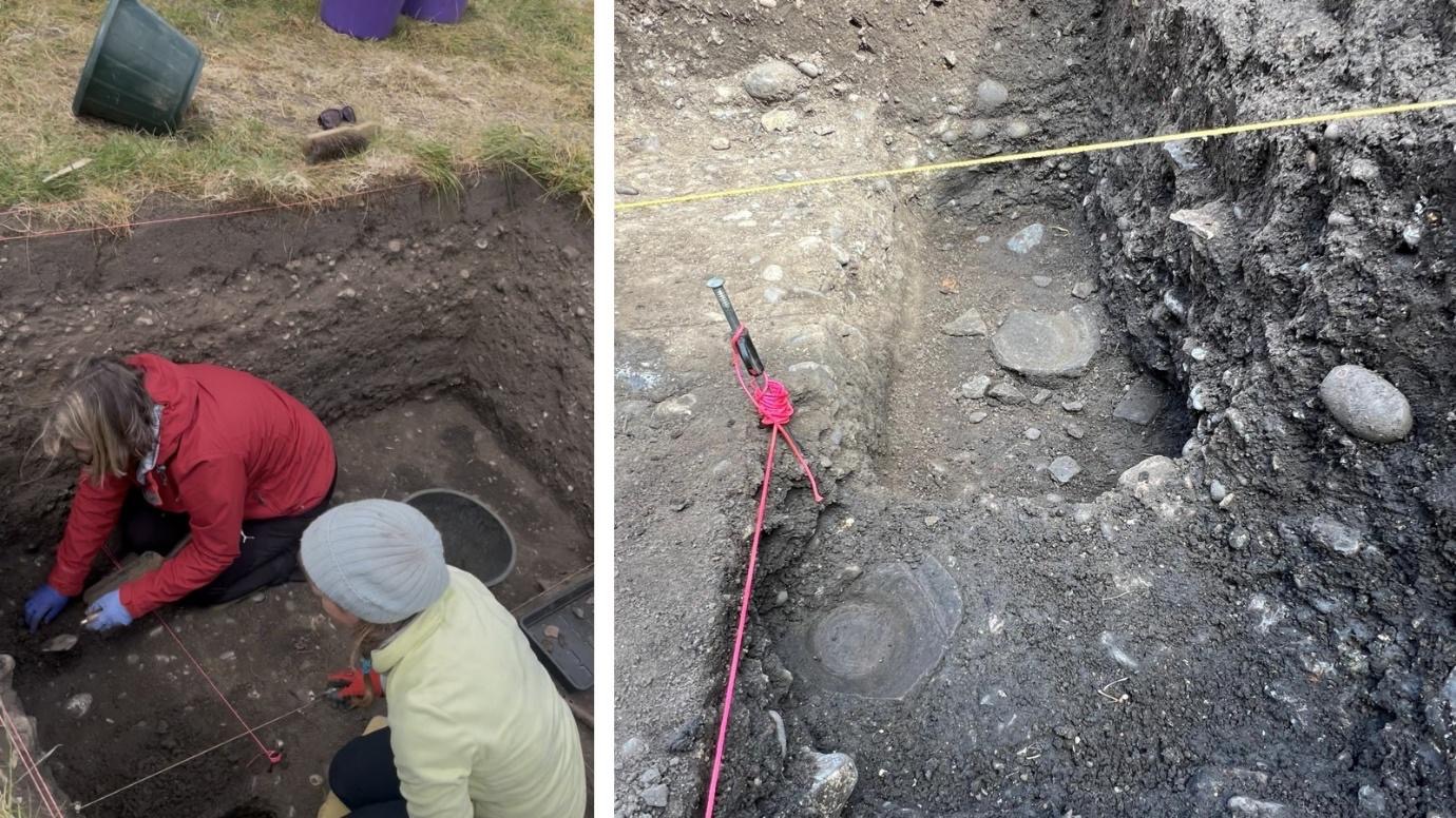
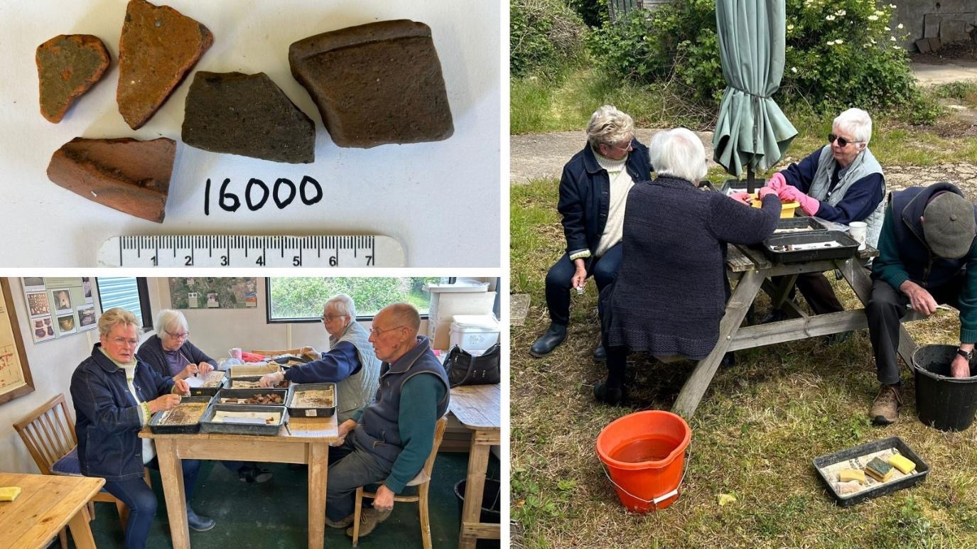
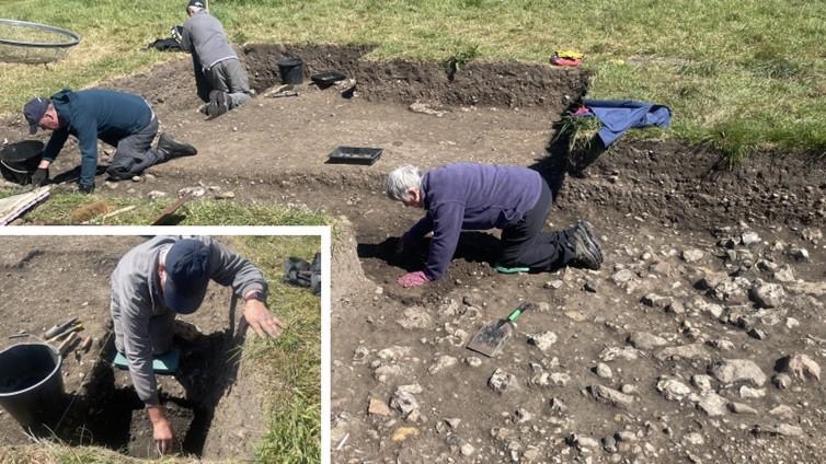
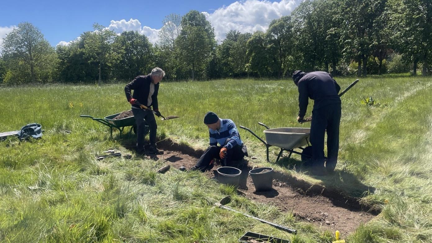
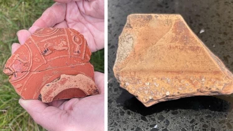
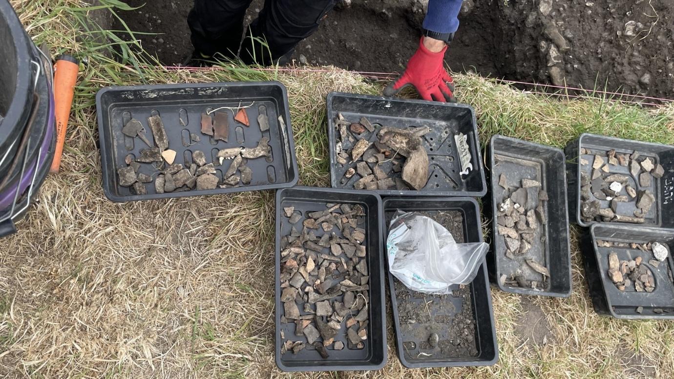
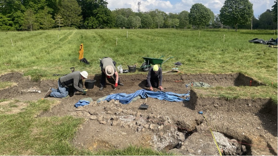
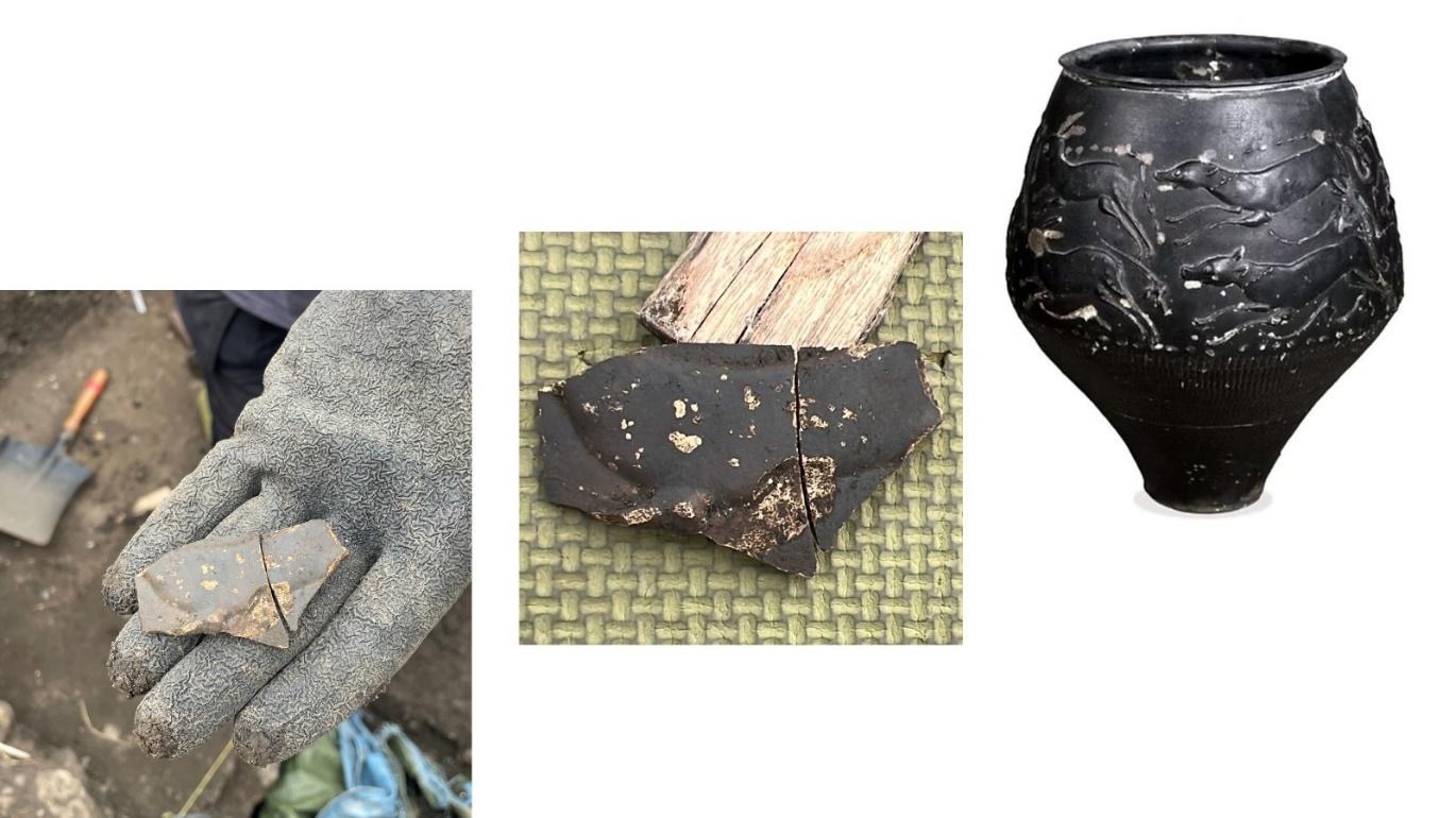
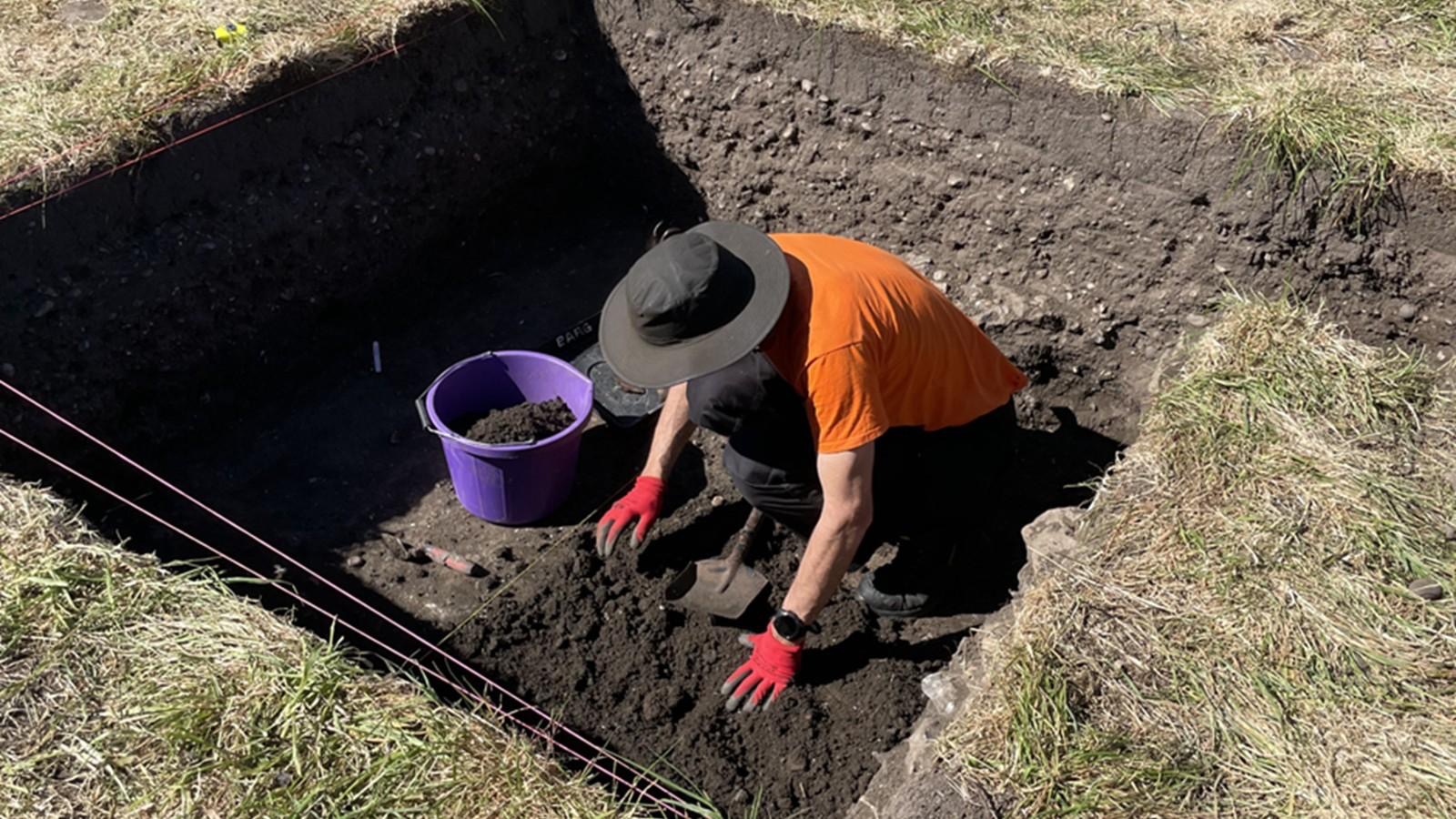
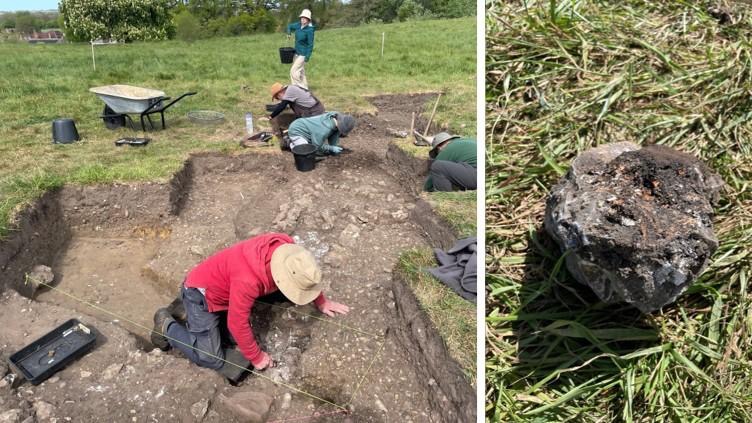
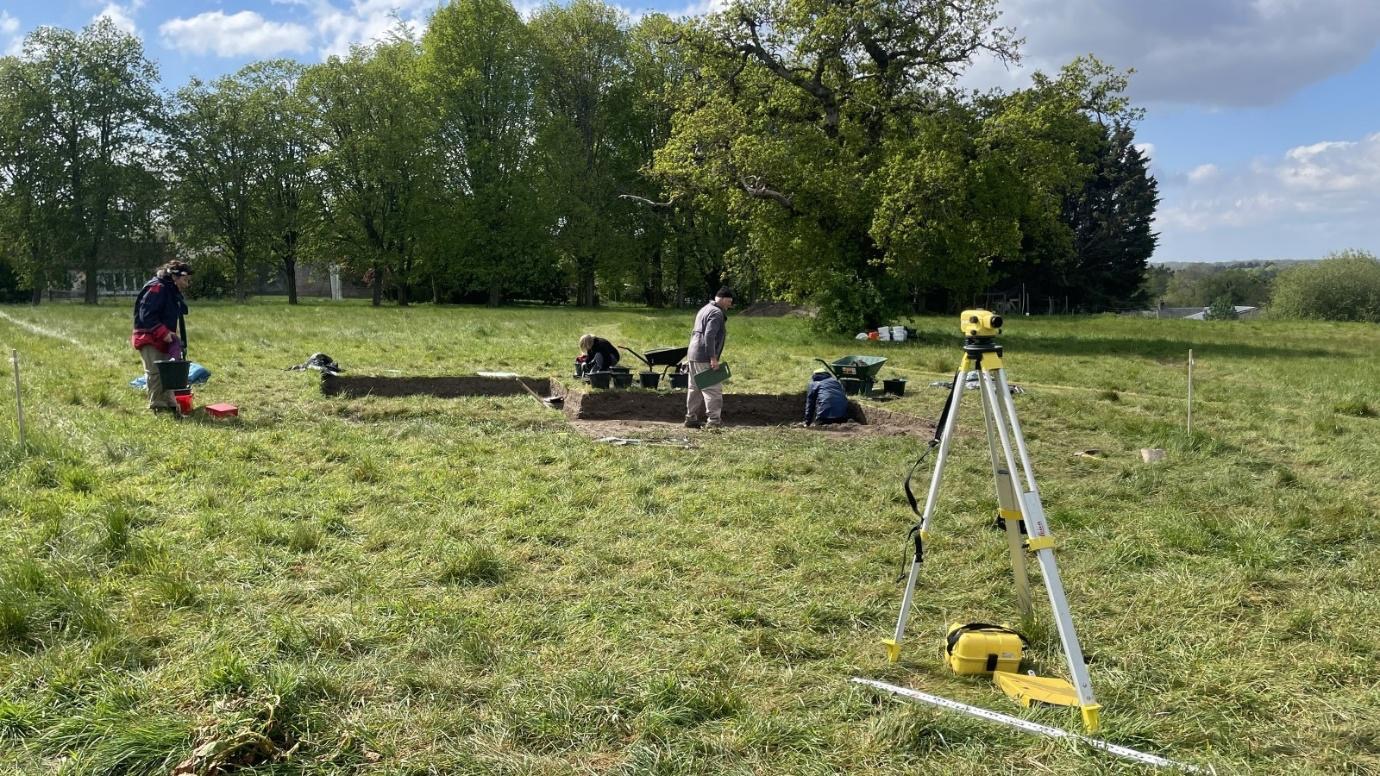
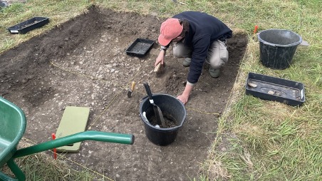
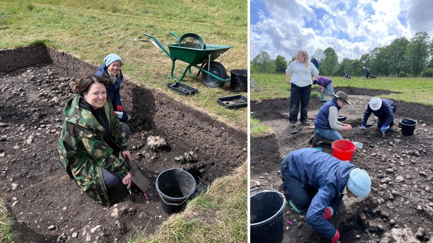
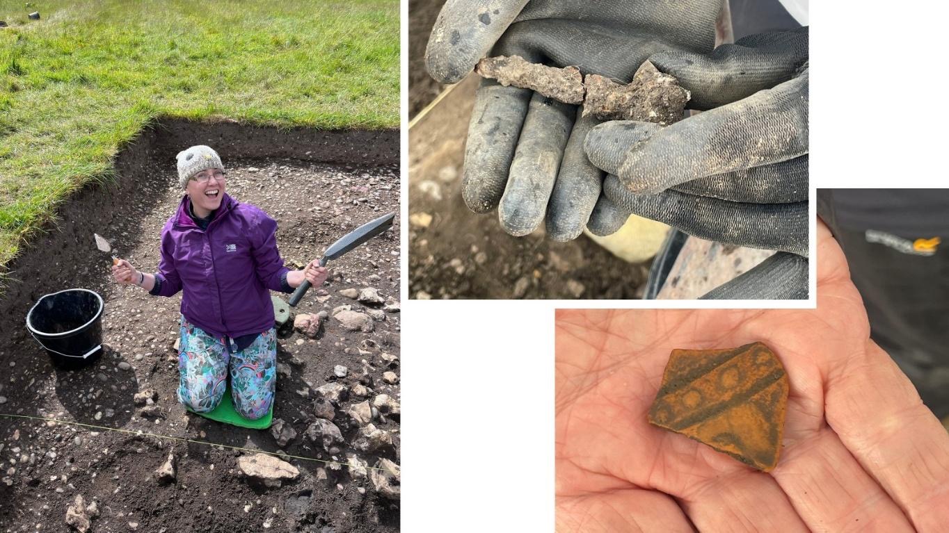
Again we were dodging the showers in the morning, but overall the weather held and we were able to get in a full day of excavation. In Trench 15 Louse and Beth started to excavate a section across the Roman road ditch, whilst Joanne and Chloe continued with the slot across the north end of the trench. Jill, Millie and Rod meanwhile continued with cleaning the surface where it is expected that the surfaces of the lane ditch and Building #3 foundation will be revealed in due course. All three areas produced finds of pottery, animal bone and iron objects all suggested nearby domestic occupation – but as yet the delineating features remained elusive…
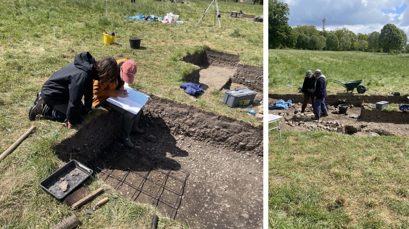
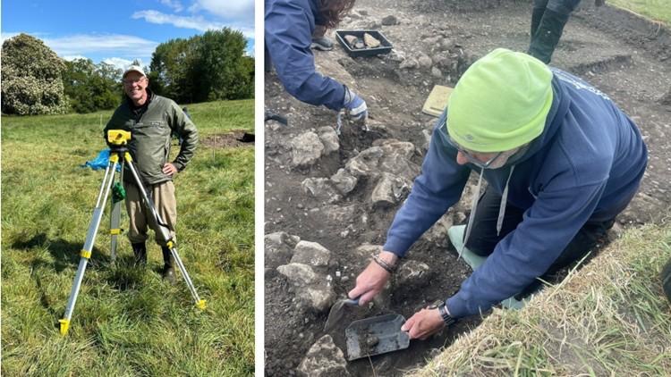
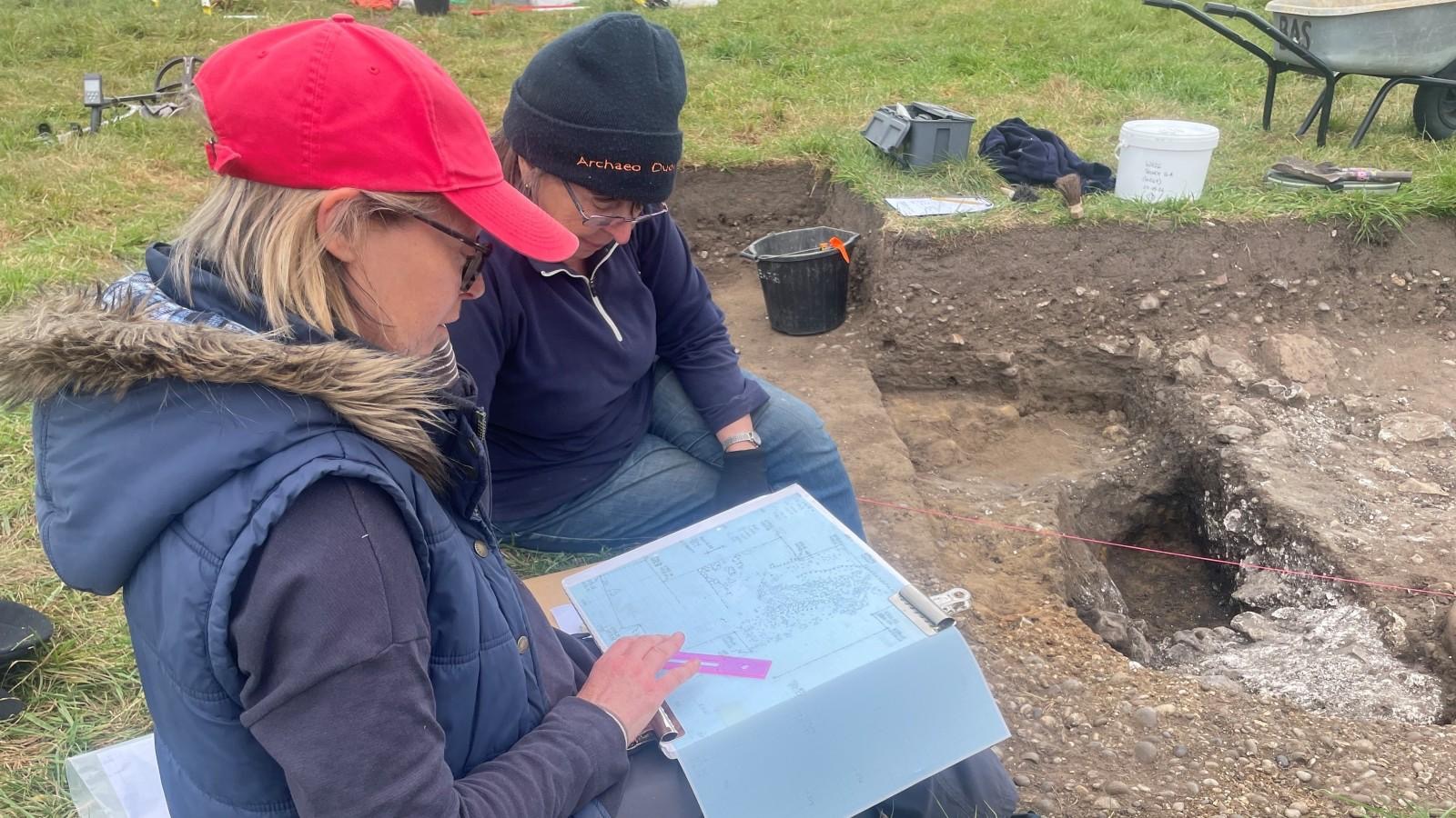
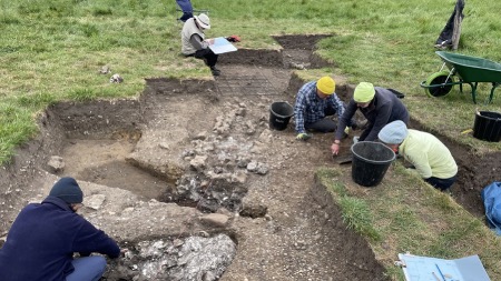
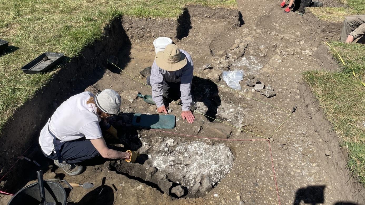
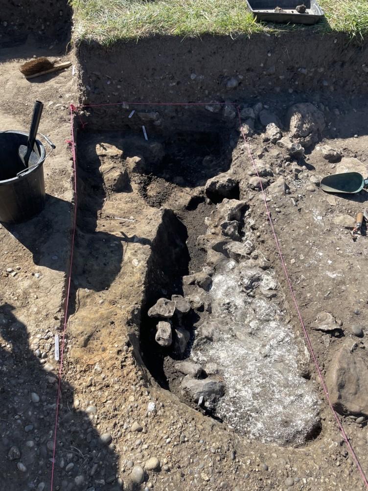
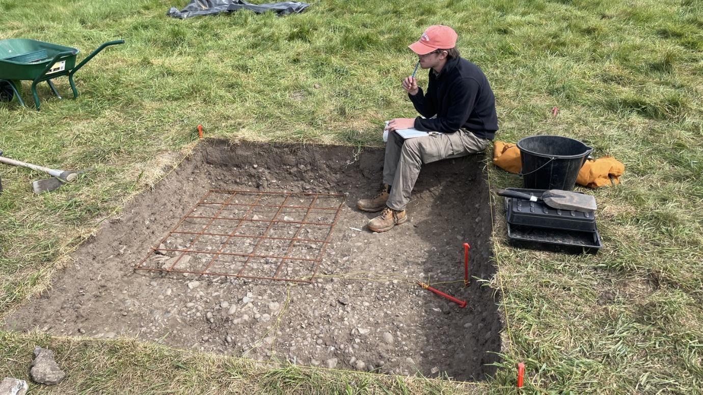
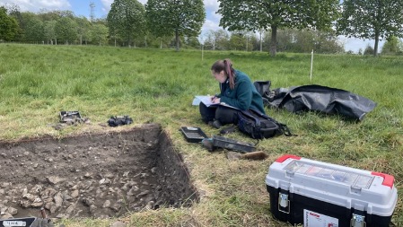
In Trench16 Lindsey continued to define the flue of the westerly corn drier/malting shed flue to determine its extant structure. Whilst Geoff cleaned the surface to the north of the trench around the pedestal of chalk/flint revealed a couple of weeks ago, and in the process discovered another area of scorched earth and burning to the east. Keith caught up with the planning and context sheet recording which will be finished tomorrow along with photography of these new context.

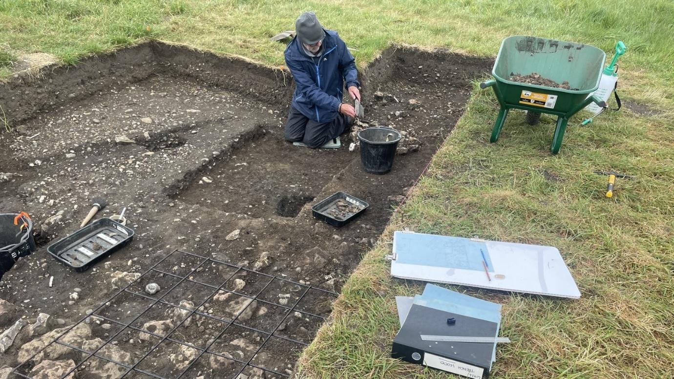
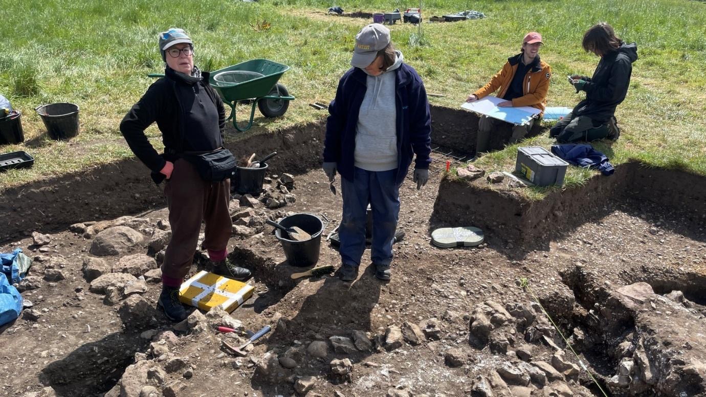
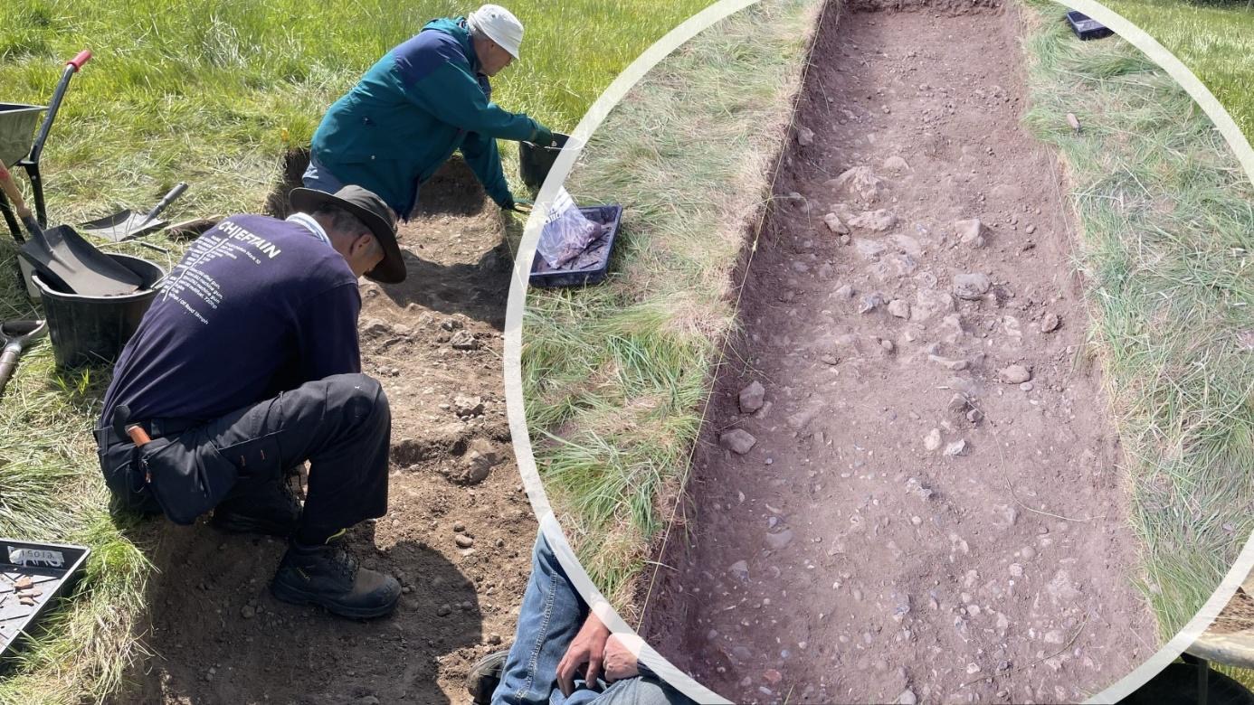
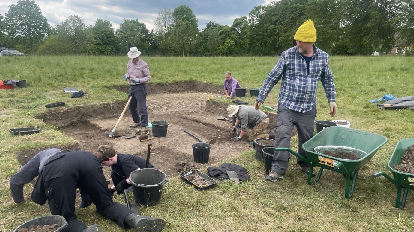
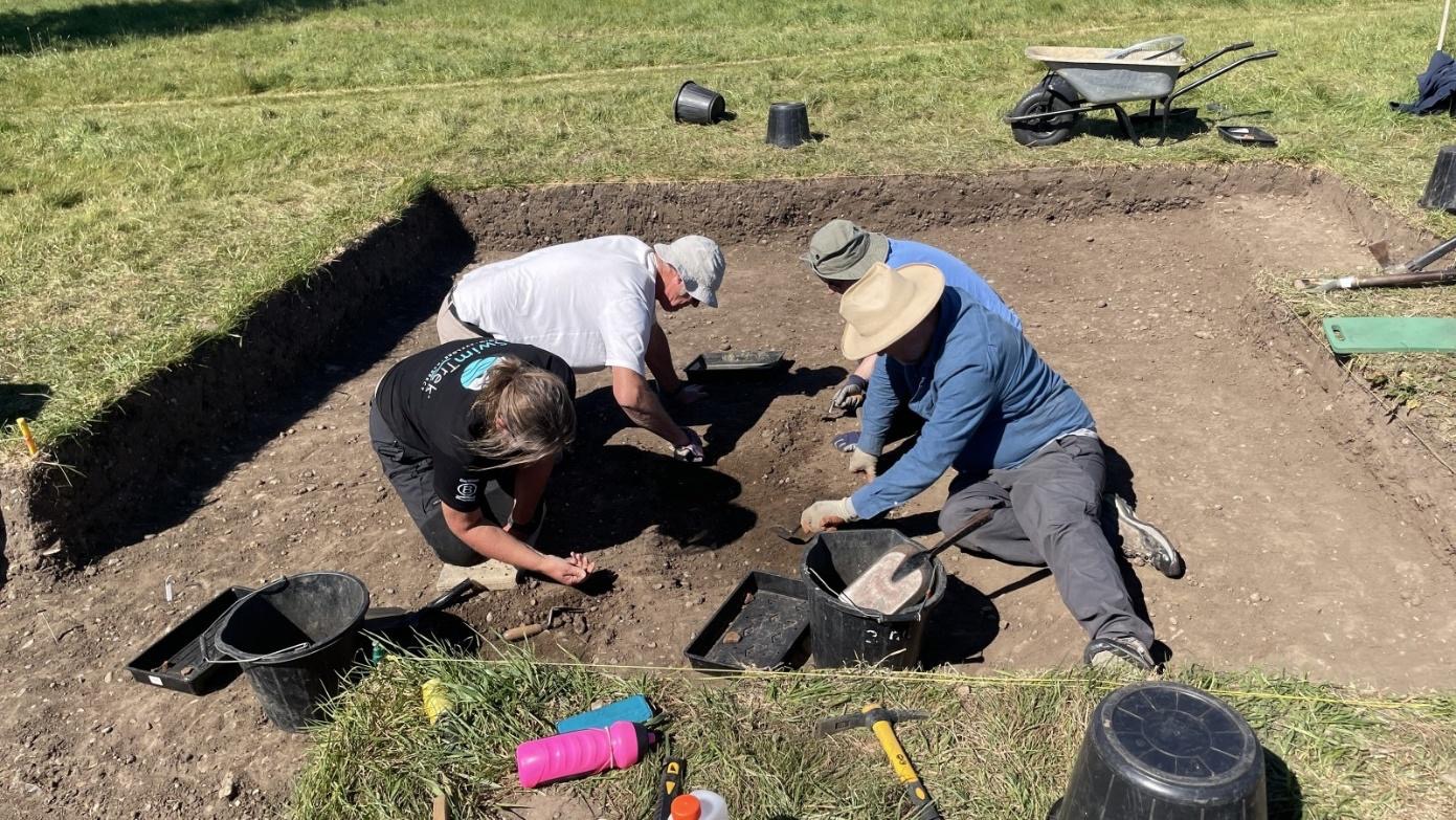
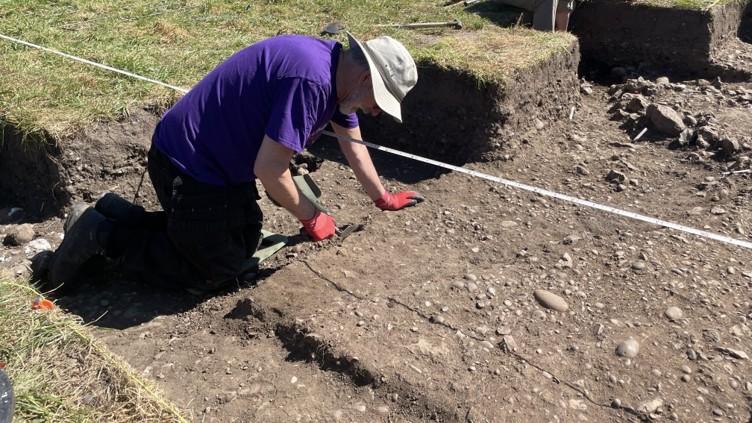
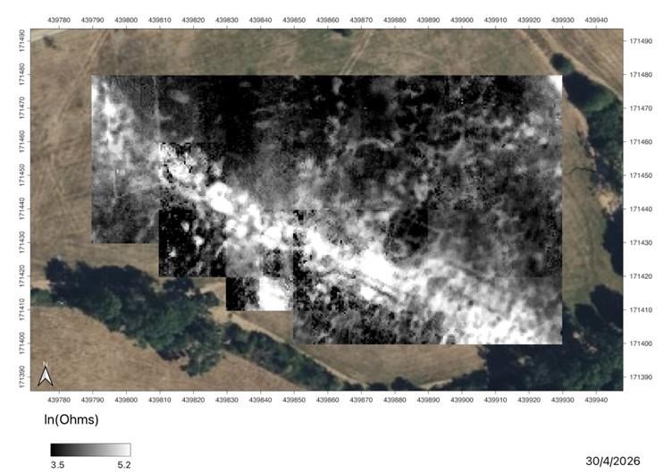
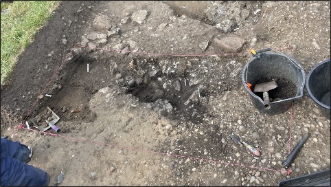
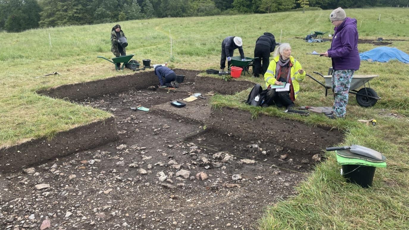
In Trench 18 Malcolm, Peter and Mike continue to remove the overburden, and ended the day by cleaning three distinct contexts identified. In the north of the trench is a yellow/brown pebble clay that is possibly the surviving gravel agger of the Roman road. To the south of this an area of large subangular flints now interpreted as the possible fill of the roadside ditch – and the surface to the south is still being revealed. Once these contexts have been cleaned, they will be photographed, planned and recorded. It is hoped that having established the width of the Roman road, that the fill of the ditch will give insights into the occupation (if any) on the south side of the road in this area by comparing with the fill of the ditch on the north side of the road near Building #3.

Tickets are now on sale at https://www.ticketsource.com/berkshire-archaeological-society/t-aazavaq for the site tour and lecture on Weds 10th June 2026 at 6pm to raise funds for much needed repairs to St Swithun’s Church. Last year’s lecture was a sell-out, so secure your seats asap to avoid disappointment…!