All posts by webmaster

Wickham House 2026 – Day #5 Blog (8th April)

Part of a series of bulletins from the BAS excavations at Wickham House

Follow the project on our YouTube channel

Attendees: Jill, Paula, Lindsey, John M, Stuart, Julian, Tim H, Tony, Martin, Susanne and Keith 

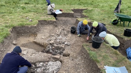
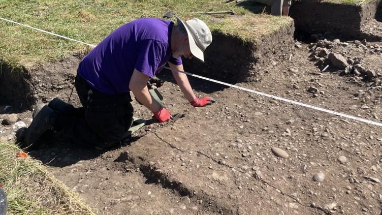
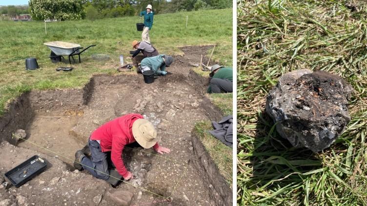
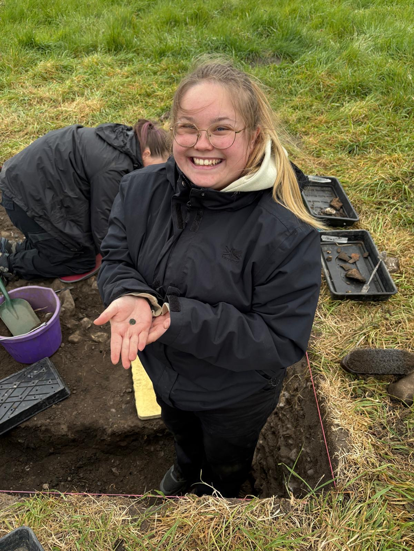
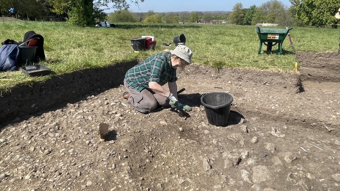
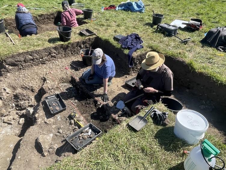
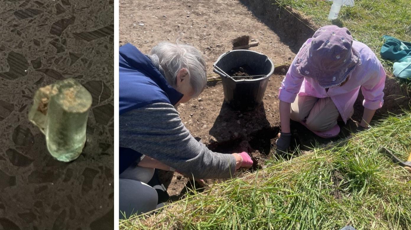
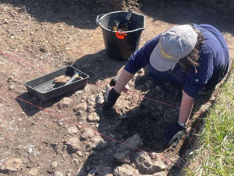
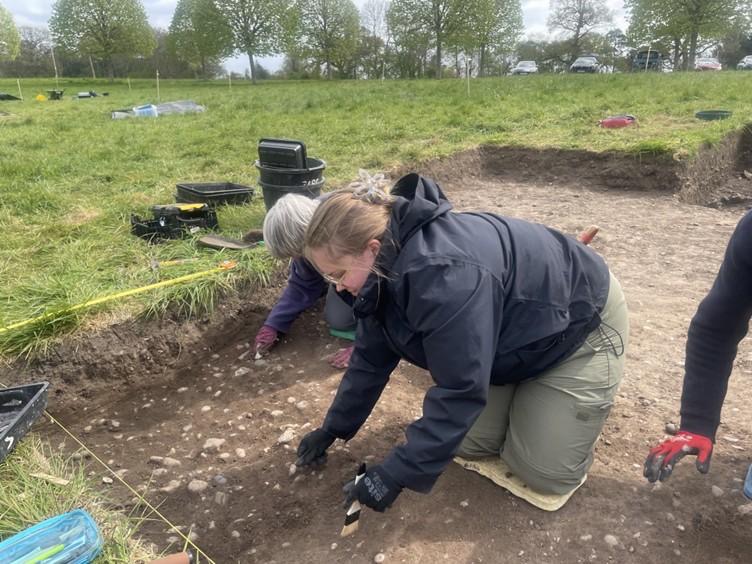
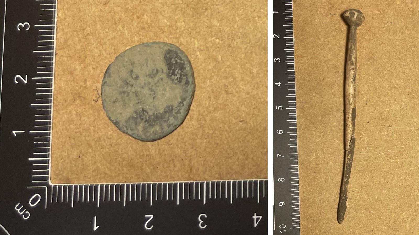
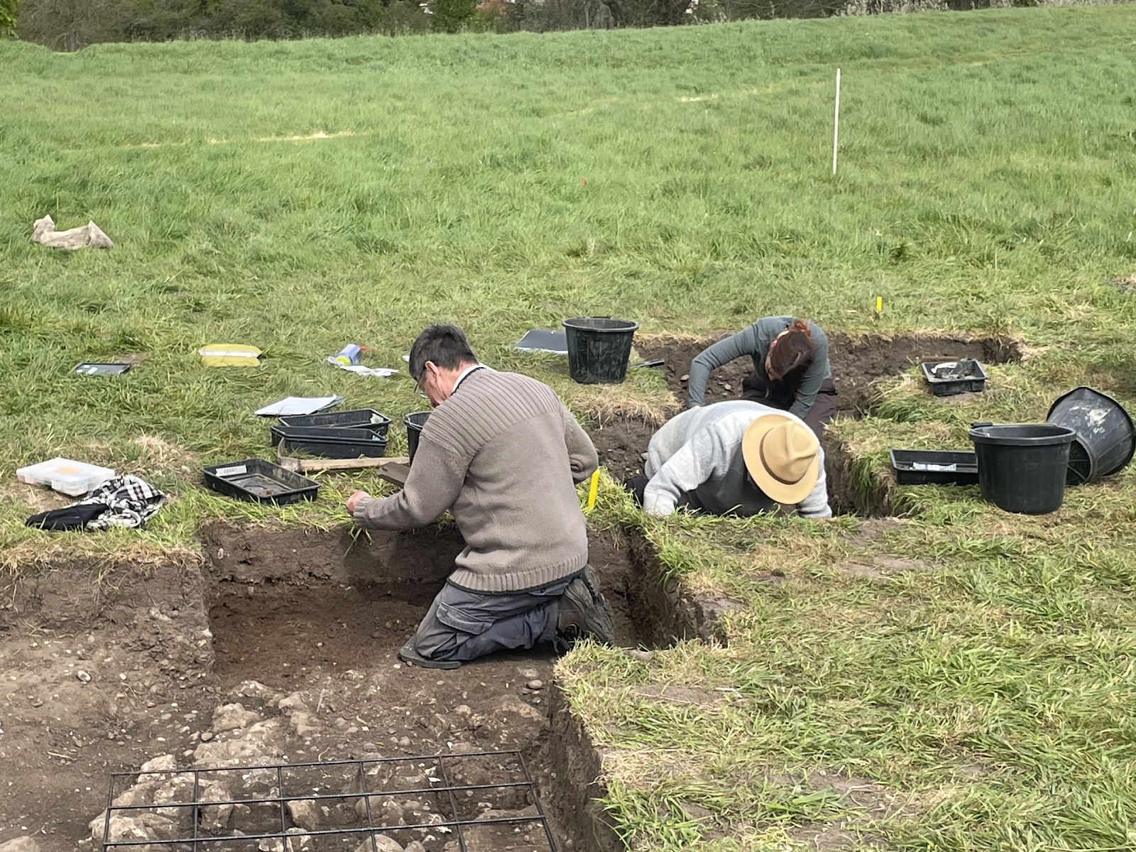
Once again excellent progress was made in both trenches despite the extremely warm weather. In Trench 15000 a compact pebble/clay surface was revealed in the south of the trench which has been interpreted as the extant surface of the Ermin Street Roman road. Figure 1 shows Jill, Paula and Lindsey cleaning this surface. Some interesting pottery was found in this area of Trench 15 during the course of the day, one example of which (found by Jill) is shown in Figure 2.

Figure 1. Lindsey, Jill and Paula cleaning the likely surface of the Ermin Street Roman Road.

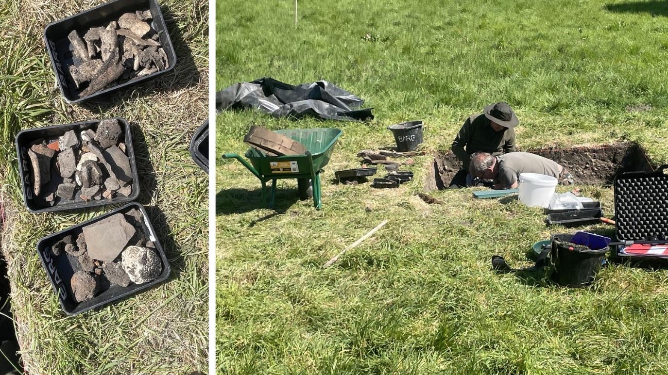
Also in Trench 16000, the turf was removed from an area to the northeast of the trench by Martin, Susanne and Keith, which is in due course expected to reveal further details of the lane heading to the north and the nearby building revealed in 2025.

Figure 2. Roman period pottery sherd discovered by Jill.

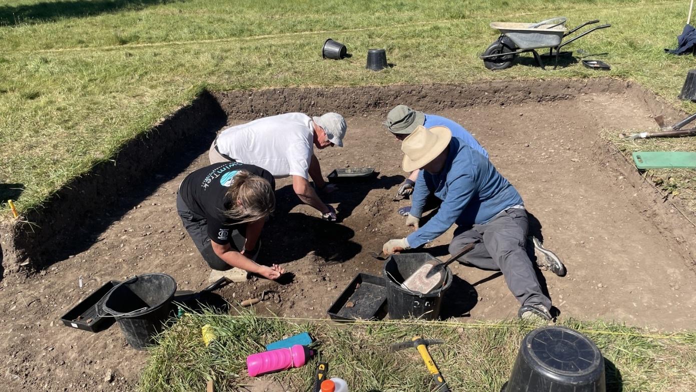
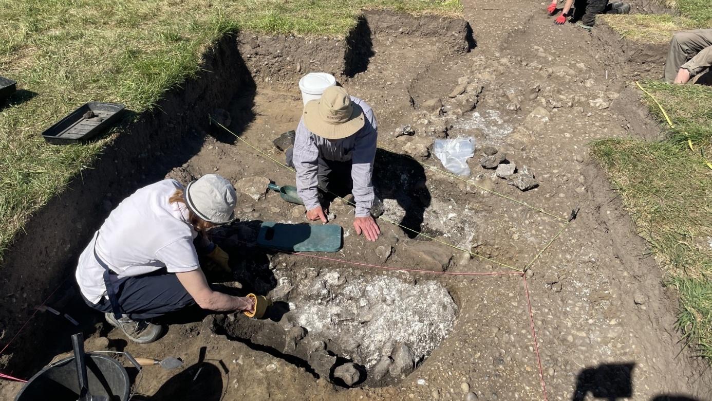
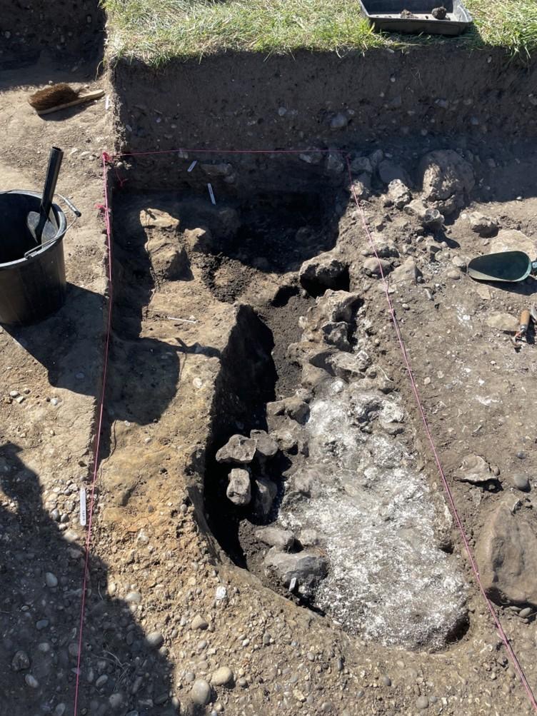
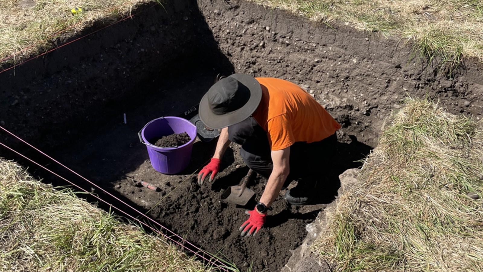
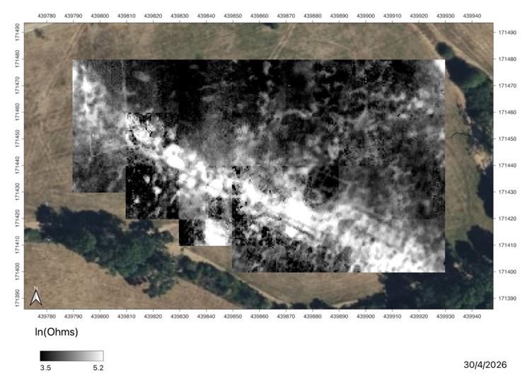
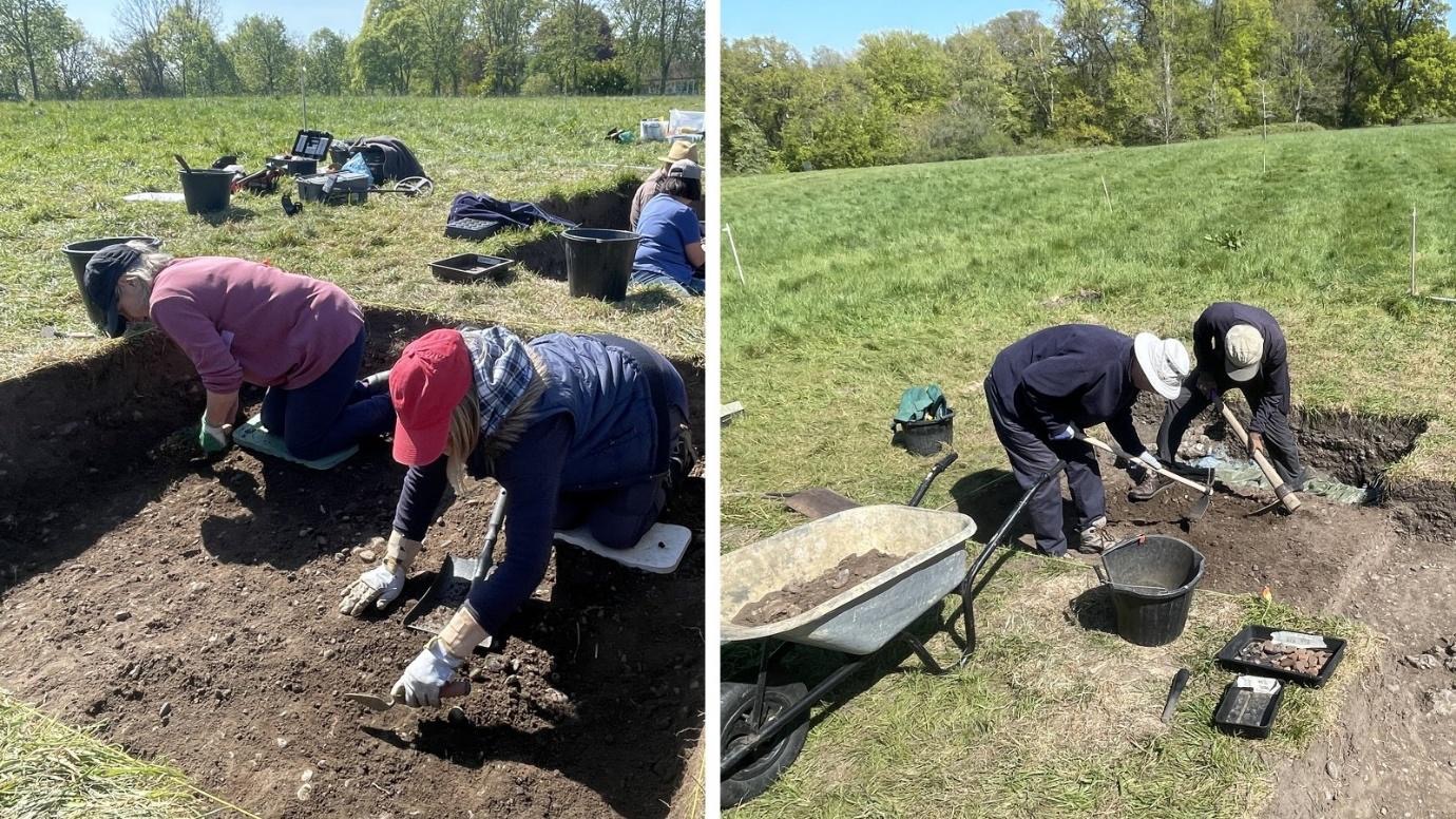
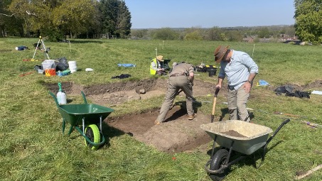
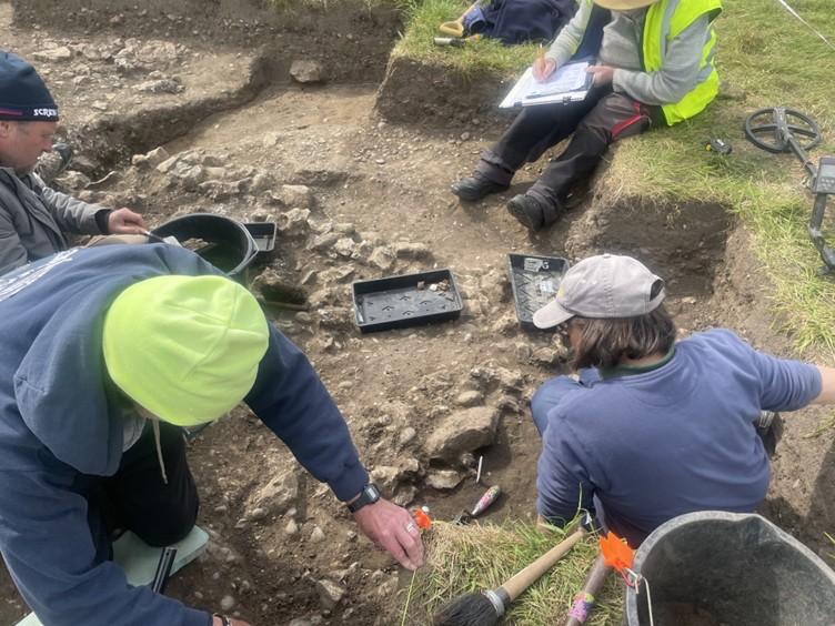
In Trench 16000 work continued to reveal details of the masonry flint wall footings and the surface on either side of the wall. Stuart spent the day extending visibility of the wall to the northeast, but the expected return was not yet reached. In the southern end of this trench John and Susanne focused on cleaning the details revealed during the previous day, including a likely return heading to the northwest. In total approximately 12m of masonry footings have been revealed and work will continue to better define these features over the coming days. It is hoped that the result of the Ground Penetrating Radar survey undertaken on 31st March (Day#1) will bear fruit with the first visibility of the area being excavated expected to be ready for assessment tomorrow. 

Figure 3. Stuart excavating at the north end of Trench 16000
Figure 4. Tim H, Tony and Julian revealing new details of the masonry wall in Trench 16000

Wickham House 2026 – Day #4 Blog (7th April)

Part of a series of bulletins from the BAS excavations at Wickham House

Follow the project on our YouTube channel

Attendees: Chloe, James L, Jill, Paula, Lindsey, Nick, John M, Thalia, Millie, Stuart, Julian, Tim H, Celia, Debbie S, Geoff and Keith 

Much progress was made in Trench 16000 revealing the masonry wall first discovered in 2025. A ‘return’ heading to the southwest was revealed in the south of the trench, but the wall was still heading north-eastwards in the northern end of the trench at the end of the day. However the photographs in Figure 1 and 2 show the wall when cleaned up and the progress made today. The find of the day in Trench 16 was the belt hasp found be Stuart shown in Figure 3.

Figure 1. John and Julian revealing the ‘return’ of the masonry wall in Trench 16

The masonry wall consists of an inner and outer facing of large flings with a white lime mortar core and is about 0.6m wide. To date approximately 8m of the wall has been revealed. Whilst there has been a number of pieces of Samian pottery plus grey-ware/black-ware pottery found along the wall, the dating of the wall itself has not yet been determined.

Figure 2. A close up of the masonry wall in Trench 16
Figure 3. The coppery alloy belt fitting discovered in Trench 16

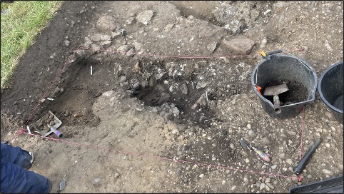
In Trench 15 work continued to locate the archaeological horizon for the Roman road ditch and the adjoining lane. Whist another nice coin find was revleaed in Figure 5, a numus dating to AD348-350, the upper levels of the road and lane features have yet to be located. Figure 4 shows the status by the end of Day #4, but further work remains to be done…

Figure 4. Progress in Trench 15 by the close of Day #4
Figure 5. Coin found by Lindsey in Trench 15 on Day #4.

Wickham House 2026 – Day # 2 and Day #3  Blog (1st April and 2nd April)

Part of a series of bulletins from the BAS excavations at Wickham House

Follow the project on our YouTube channel

Attendees: Philip R, Nick, Stuart, Lindsey, Martin, Andrew R, Phil C, Jill, Julian, Tony, Stewart, Geoff, Fay, Margaret, Nigel B, Eric, Ben, John S, Tim H, Thalia, Garry and Keith 

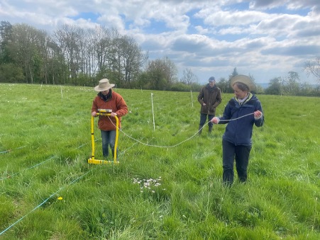
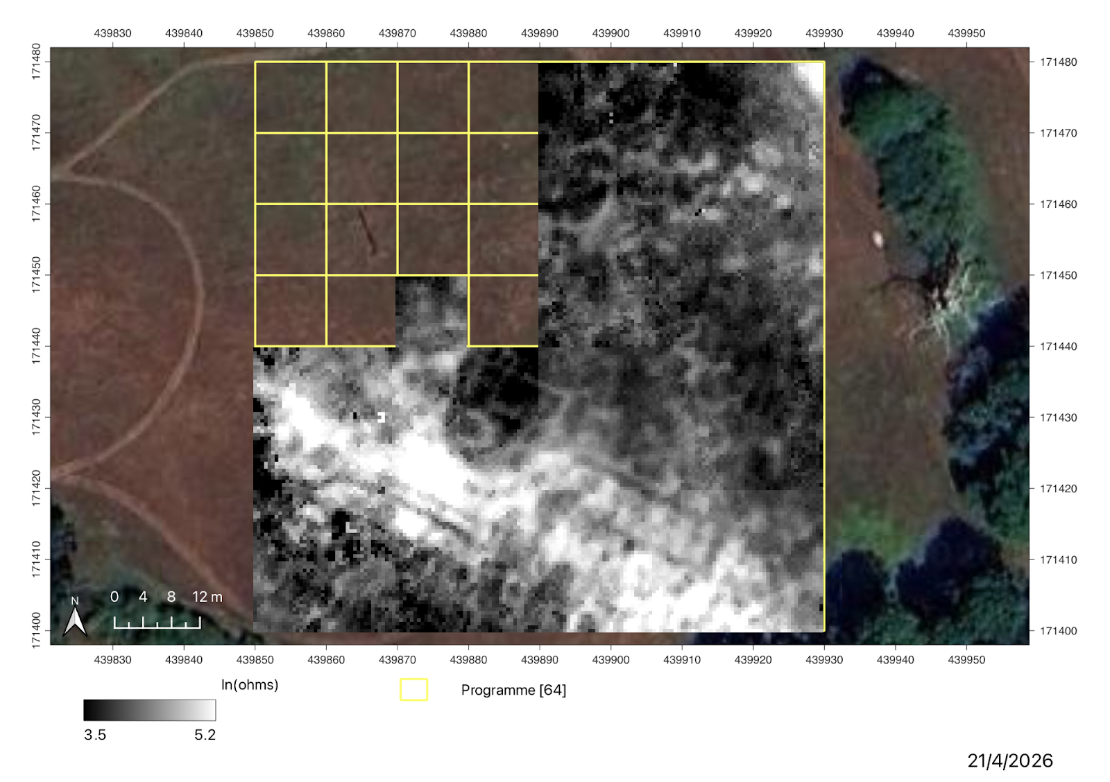
Day #2 and Day #3 both saw amazing progress, but were also very similar – so I have combined the two updates. As for Day# 1 we had “team GPR” led by Philip collecting geophysics survey data using the Mala Ground Penetrating Radar, this time on the pasture we surveyed before Christmas with an earth resistance survey. Figure 1 shows “team GPR” in action. Philip will processing the data collected during this week over the long weekend, which will give us more information on where to open trenches to address our research questions. Watch this space…!

Figure 1. Philip, Martin, Tim H and Andrew R collecting GPR survey data

The earth resistance survey of the excavation site collected on day #1 didn’t reveal any new anomalies relating to the masonry wall discovered in the last week of season #1 – so we decided to revert to the “old school”/tried and tested method of re-opening Trench 4e and the test pit from 2025 where the masonry wall was recorded. This involved a lot of digging to remove the infill, but good progress was made by the end of Day#3 as can be seen in Figures 2 and 3. 

The layer of Terram fibre placed over the masonry wall prior to filling in Trench 4e provided a clear marker protecting the archaeology revealed in 2025. This will allow us to quickly pick up where we left off last year. New archaeology, possibly associated with the wall, was also revealed in the south of the trench where it was extended. Depending on the new insights revealed by the GPR survey, this trench will be further extended in the coming week to reveal more of the wall and nearby features associated with it.

Figure 2. Thalia cleaning up the new archaeology revealed in Trench 4e/16 as the backfill from 2025 is removed to the north.
Figure 3. Nigel, Stuart and Thalia hard at work opening up Trench 4e/16

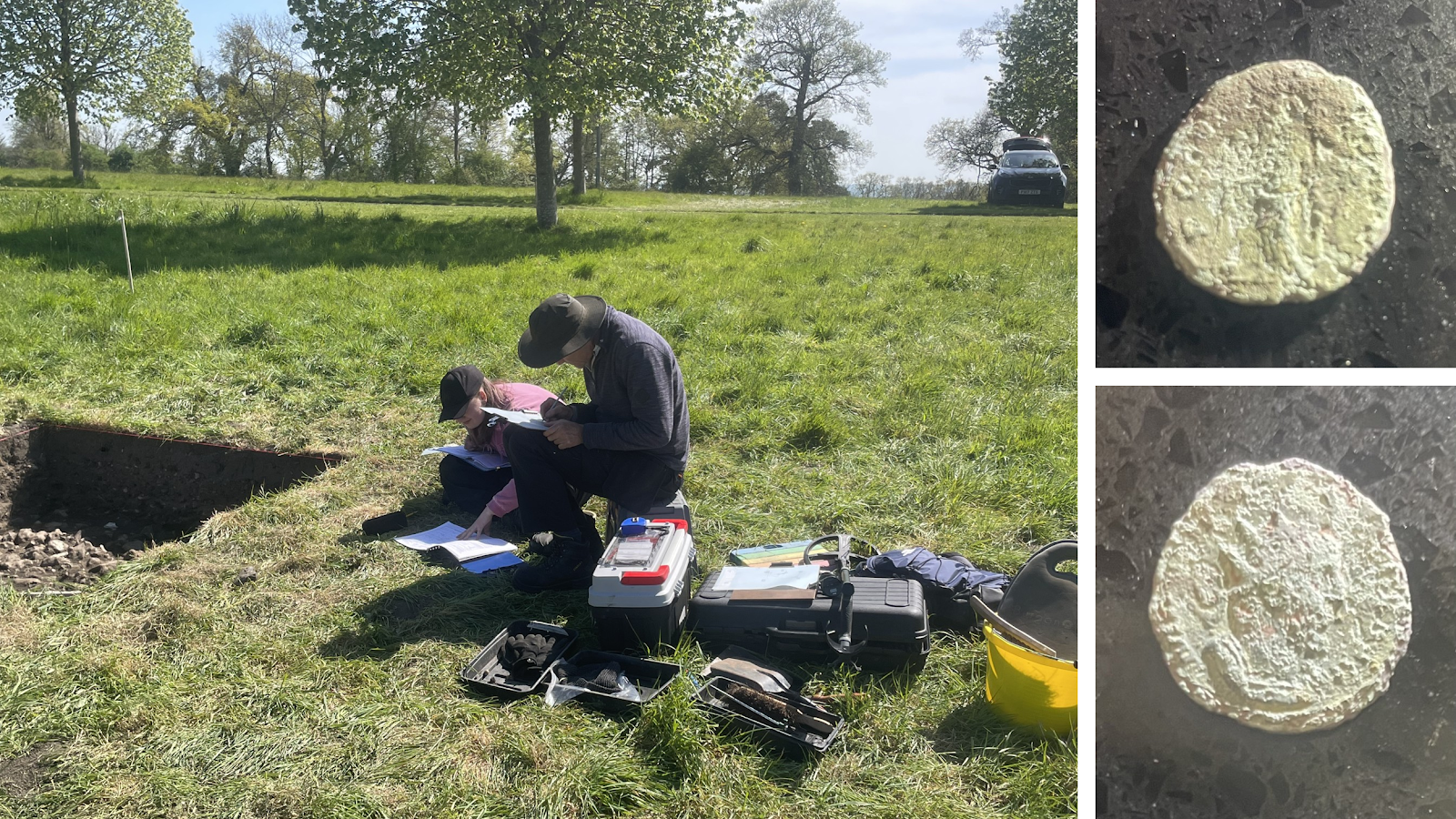
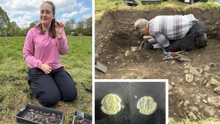
In Trench 15 located across the intersection of the Roman road/lane next to “building #3”, good progress was also made. By the end of Day #3 the first hints of the surface of the Roman road were starting to appear, and the overburden revealed three late Roman nummi coins. As these artefacts were found in different locations and recorded as “small finds” within Trench 15, they were not thought to be associated (i.e. part of a single deposit), but part of the wide spread of Late Roman period coins found by metal detectorists across this pasture over many years as recorded on the Portable Antiquities Scheme. Work will continue next week to carefully expose the archaeological horizon using the sections recorded nearby in 2025.

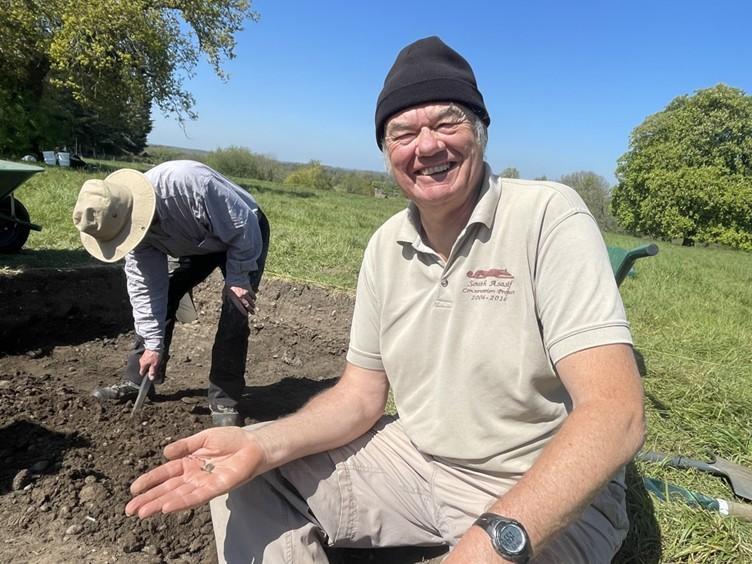
Figure 4 Stewart, Geoff, Nick, Julian and Margaret recording Trench15, and Julian with the first Roman coin found during this season’s excavation.

Wickham House 2026 – Day # 1 Blog (31stMarch)

Part of a series of bulletins from the BAS excavations at Wickham House

Follow the project on our YouTube channel

Attendees: Philip R, Phil C, Eric, Andrew H, James, Geoff, Eric, Garry, Thalia, Tasha, Millie, Sophia, Fay, John S, Julian, Jill, Martin and Keith

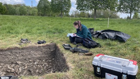
The nine month since were last on site excavating at Wickham House have flown by – a blur of post-ex analysis of artefacts and drafting the interim stratigraphic analysis of the archaeology revealed in the 2025 season. As many of you will have seen from presentation given, the site we are working has phases of occupation dating to the Early/Late Roman and the Medieval Periods, with at least two Roman period buildings – and a large Medieval building location on top of the Roman road. The initial focus of the 2026 season excavation are to better define the morphology, function and dating of the Roman period buildings and how they interacted with the nearby Roman road, the lane heading to the north and the industrial areas discovered to the north on the site in 2025. A secondary focus will be to better understand the morphology, function and dating of the Medieval building.

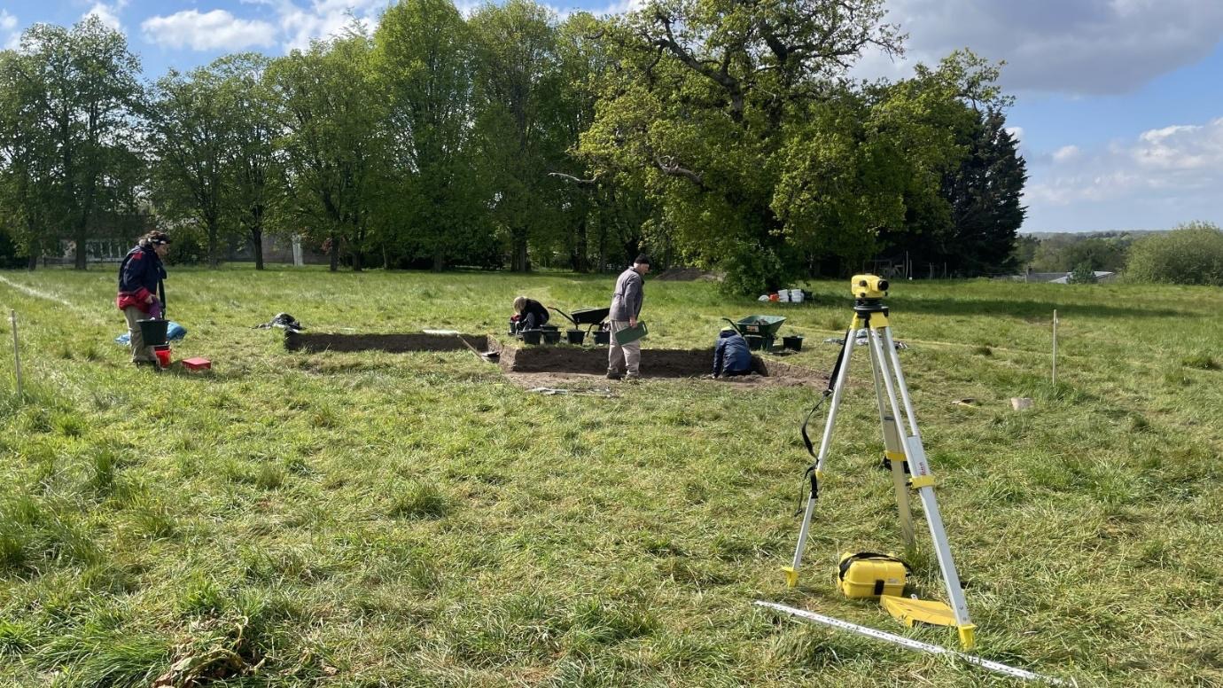
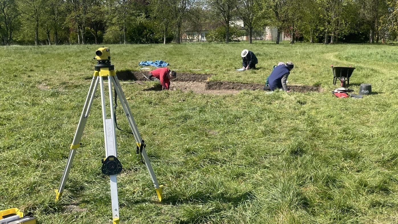
Figure 1. The excavation site at the start of Day #1

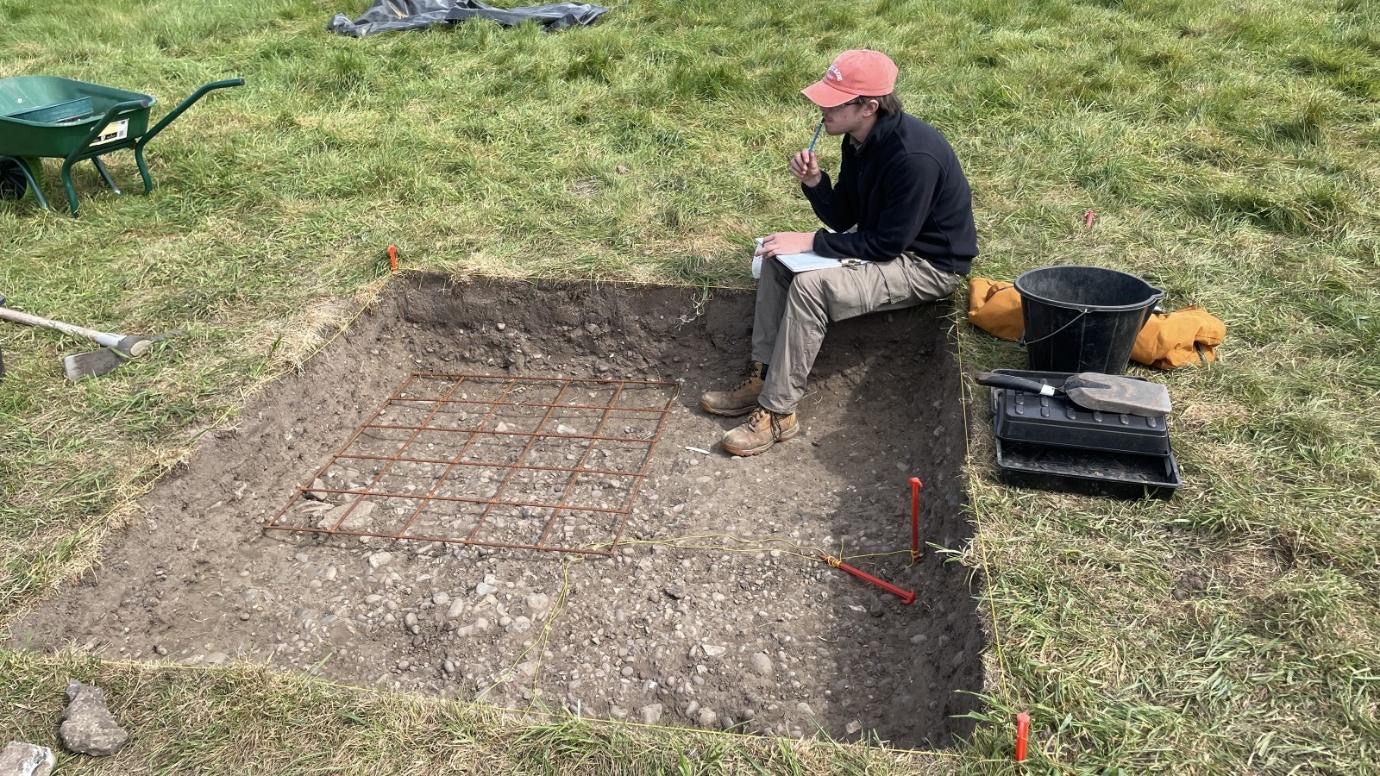
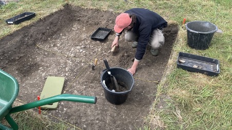
Once we had arrived on site, work soon got underway after Philip had used the GPS device to mark out the first of the two trenches to be opened this week on top of the intersection of the Ermin Street Roman road and lane branching to the north. The turves were removed and work started on removing the overburden as can be seen in Figure 2. Work progressed during the day as can be seen in Figure 3, but by the end of the afternoon the archaeological horizon had not reached, so work will continue tomorrow…

Figure 2 Removing the turves in Trench 15
Figure 3. Work continues in the afternoon of Day #1 in Trench 15…

Elsewhere on the site two teams of volunteers were busy undertaking geophysics surveys. Geoff was leading a team working on repeating the high resolution earth resistance survey in the east of the site as seen in Figure 4 to see if ground conditions were moist enough to reveal details not seen the survey taken in 2025 when conditions were very dry.

Figure 4. Geoff supervising the earth resistance survey on Day #1

Another team of volunteers was trying out the Ground Penetrating Radar survey device being trailed by the Society. Philip soon got the GPR device integrated with the GPS device and data was collected across a 40m x 40m area was surveyed using this new geophysics tool as shown in Figure 5. Work will continue into the evening to post-process both datasets to help site the next trench to be opened across the masonry walls discovered in 2025…

Figure 5. Andrew collecting GPR survey data on Day #1

Saturday 25th April 2026 – BAS Lecture: How large was Pompeii really?

by Dr J. W. Hanson (FHEA)

My main interests at the moment are in urban studies, demography, architecture, and social networks, with a particular interest in how all this applies to Pompeii.

Dr Hanson is Associate Professor of Roman Archaeology and Art, Faculty of Classics, and Governing Body Fellow, Wolfson College, University of Oxford

2.00 pm for 2.30 pm at the RISC Centre, London Street, Reading RG1 4PS and from 2:15 on Zoom

Google map reference

image: Pompeii Theatres by ElfQrin (Wikimedia Commons)