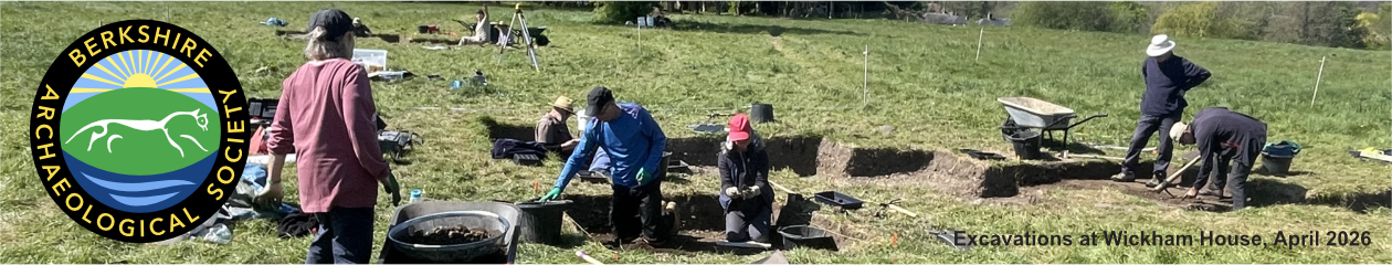
Part of a series of bulletins from the BAS excavations at Wickham House
Follow the project on our YouTube channelAttendees: Joanne, Millie, Martin, Julian, Tony, Nigel S, Nigel B, Garry, Thalia, Susanne, Penny, James P, Roger and Keith
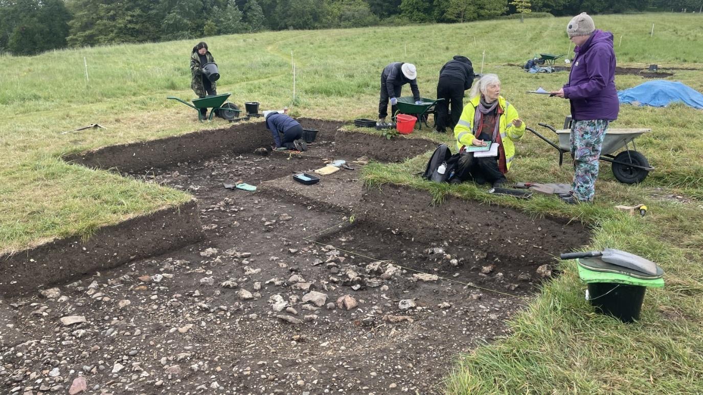
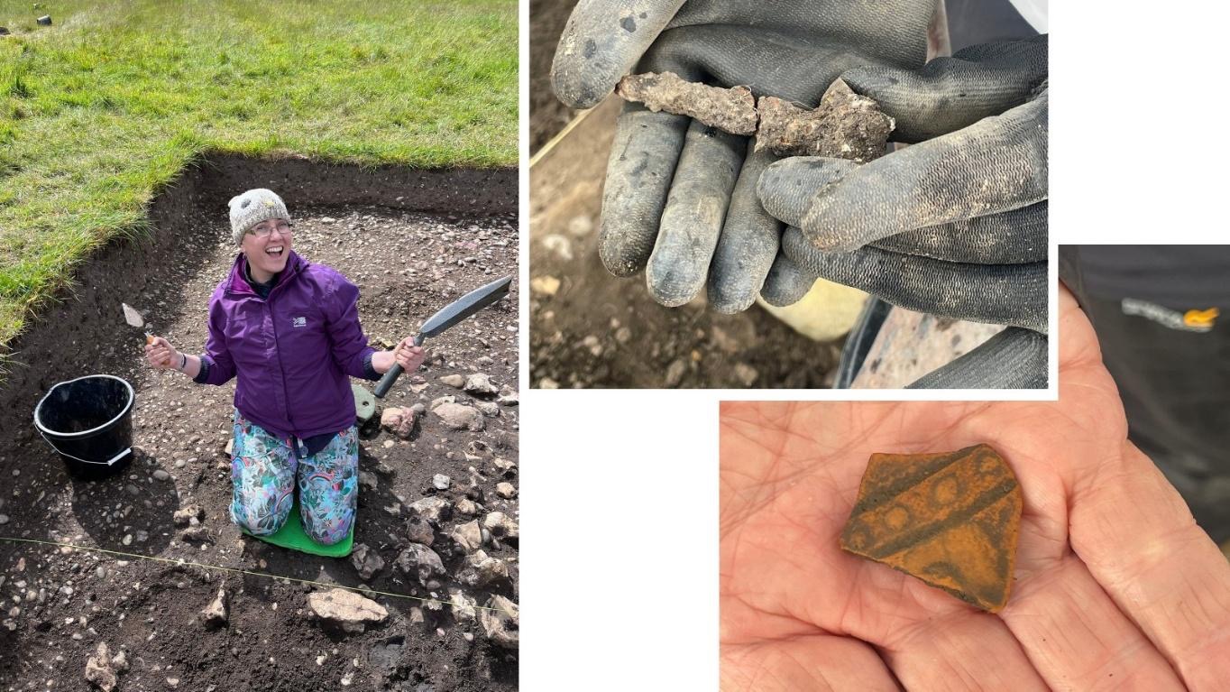
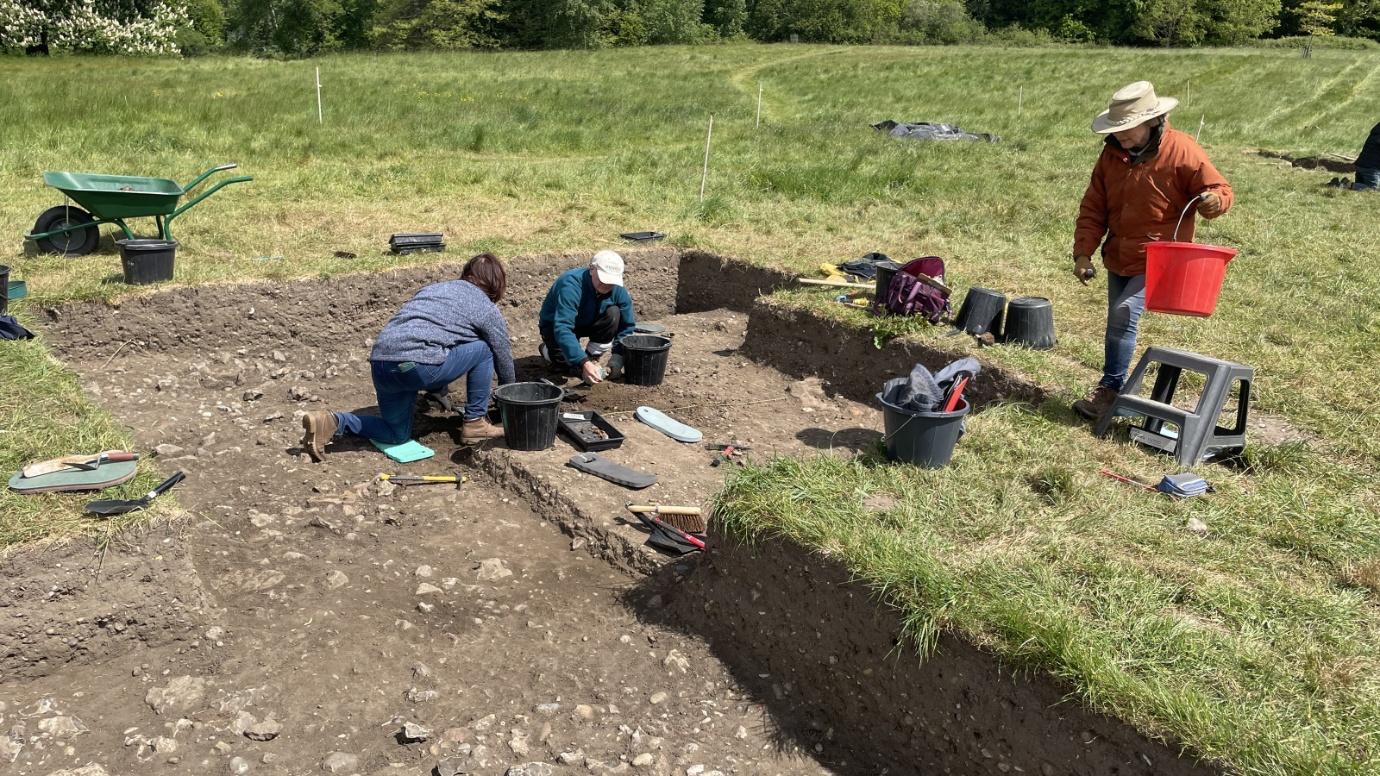
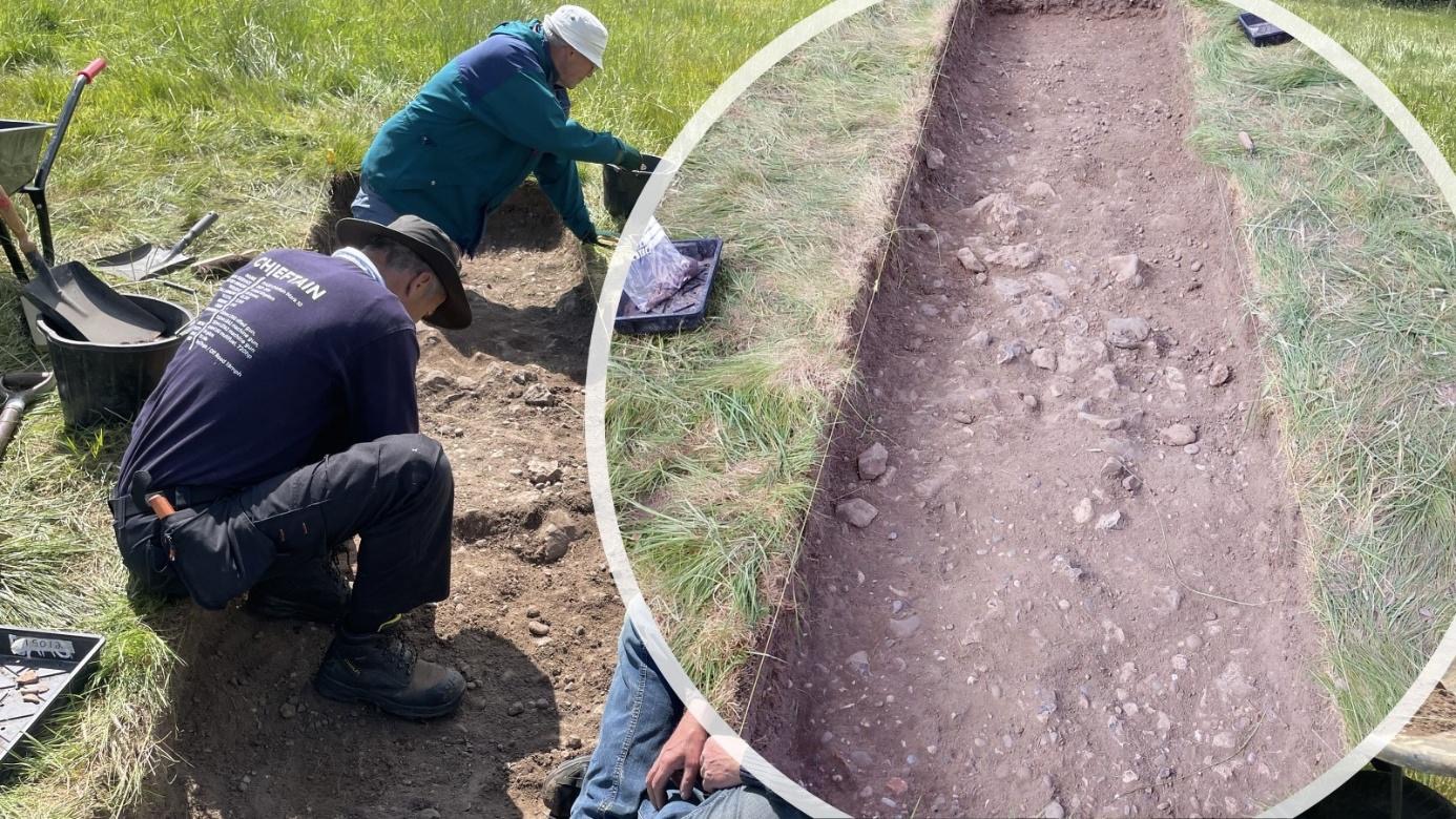
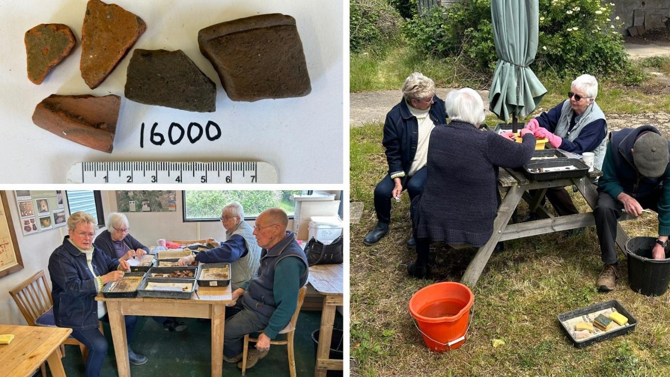
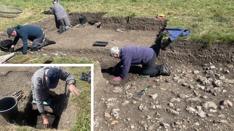
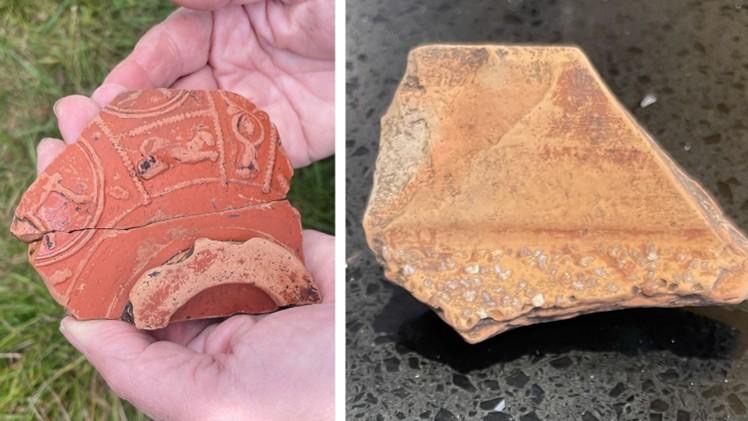
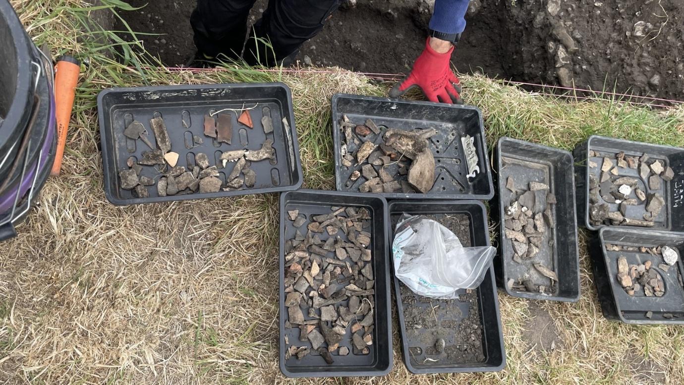
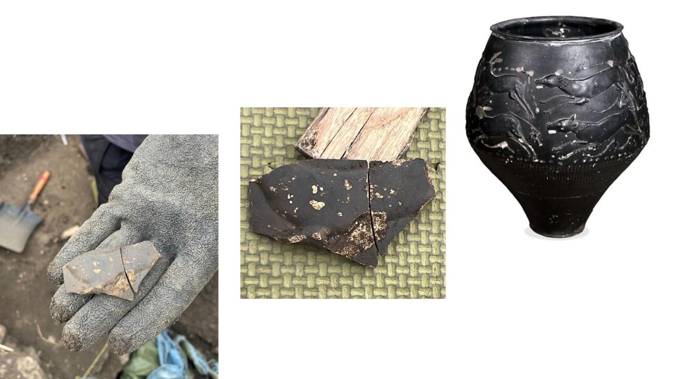
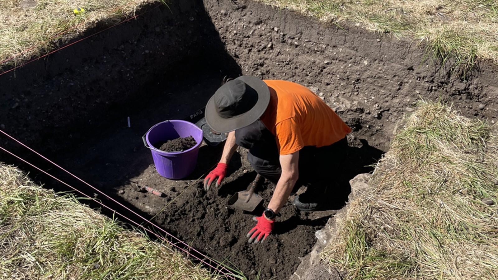
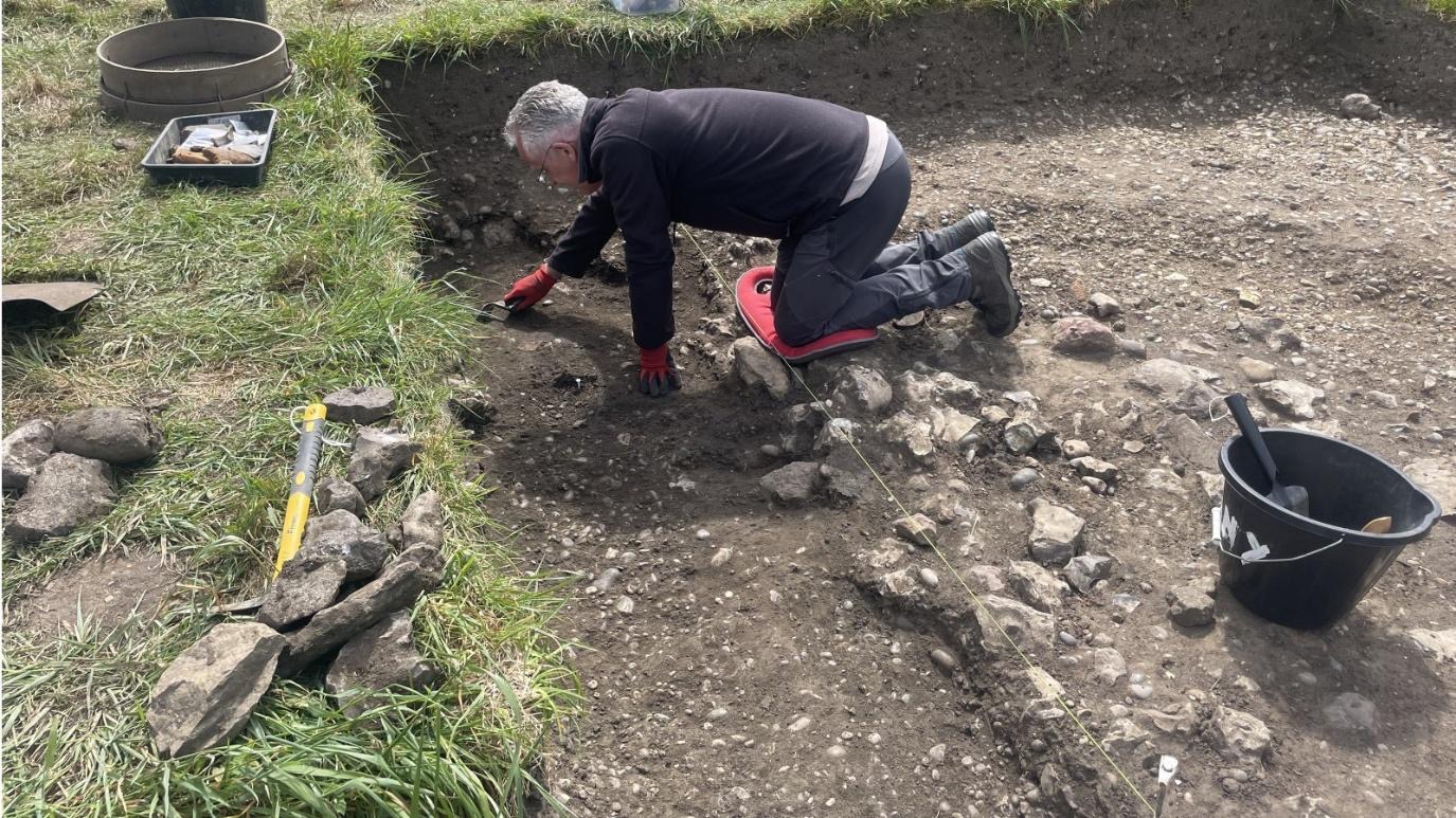
Another showery day, but great weather for archaeology! In Trench 15 Tony and Nigel S continued to excavate the roadside ditch of Ermin Street. The layer of large flints/CBM at the top of this fill turned out to the relatively shallow, revealing a lower fill of dark earth. These contexts were recorded, and work will continue tomorrow to expose the section of the roadside ditch. Within the initial ditch fill were a number of interesting pottery finds and glass fragments.
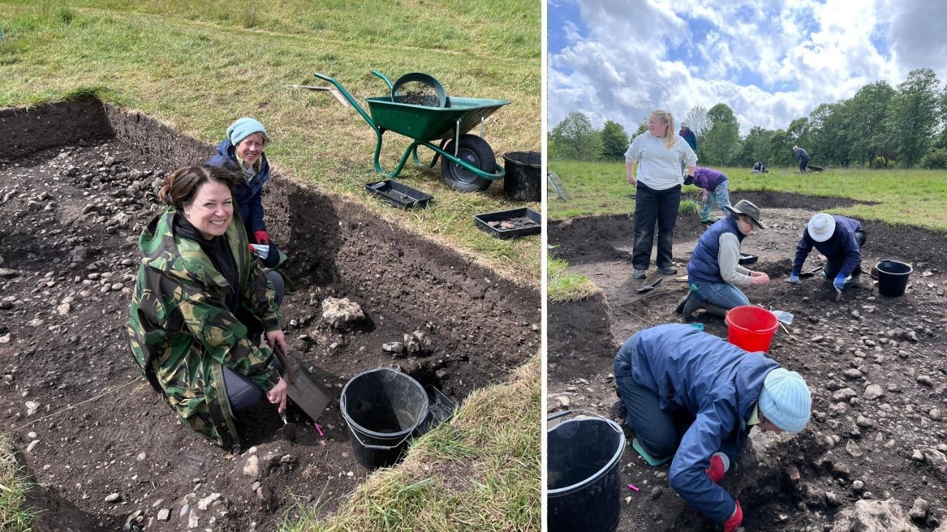
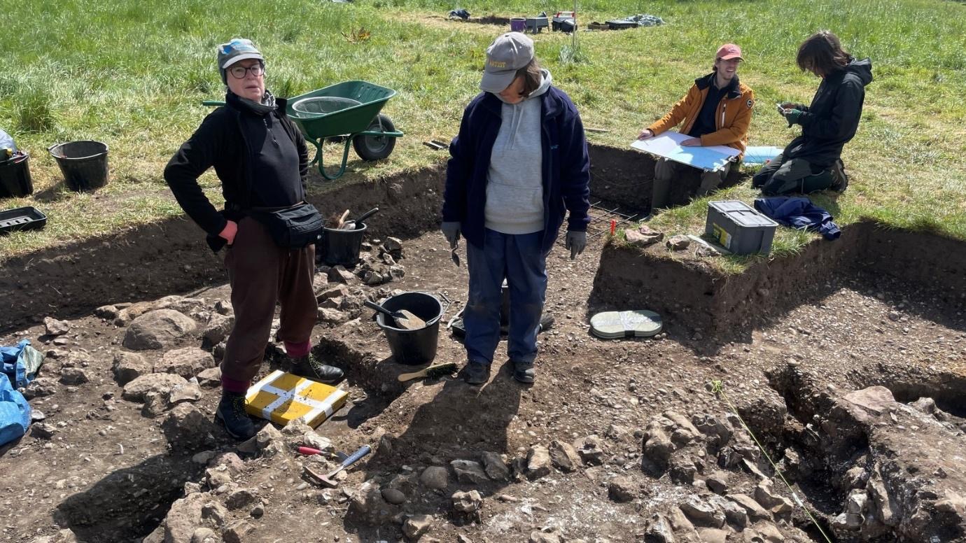
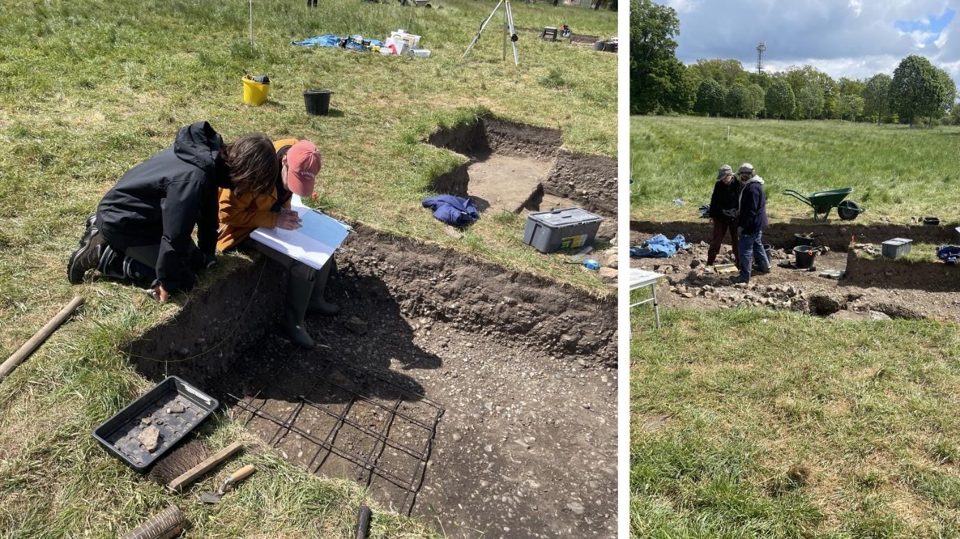
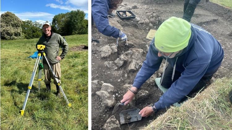
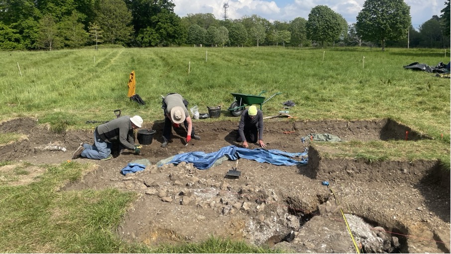
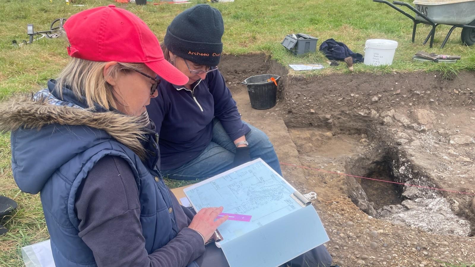
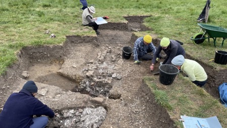
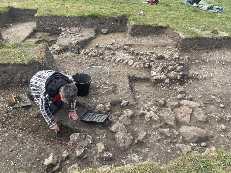
Martin continued to clean the surfaces exposed the previous day which started to clarify the possible morphology of possible foundations of a timber framed building within Trench 15 which began to be recorded. Once recording is complete the focus in Trench 15 will be to record the contexts relating to the roadside building, and how it interacted with the road and lane nearby. At the north of Trench 16 Joanne and Millie also spent the day recording the newly revealed surfaces and defining their relative stratigraphy.

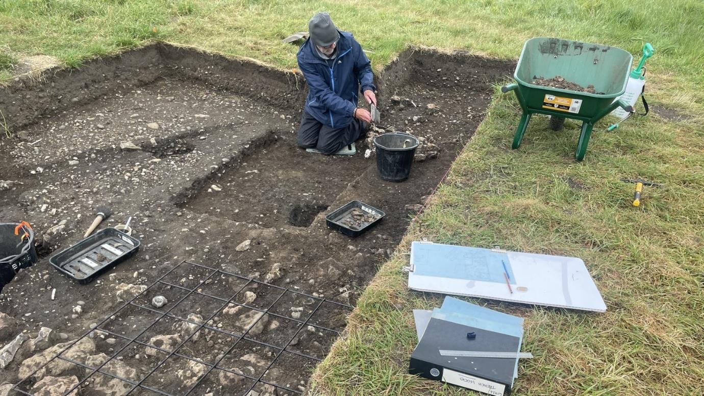
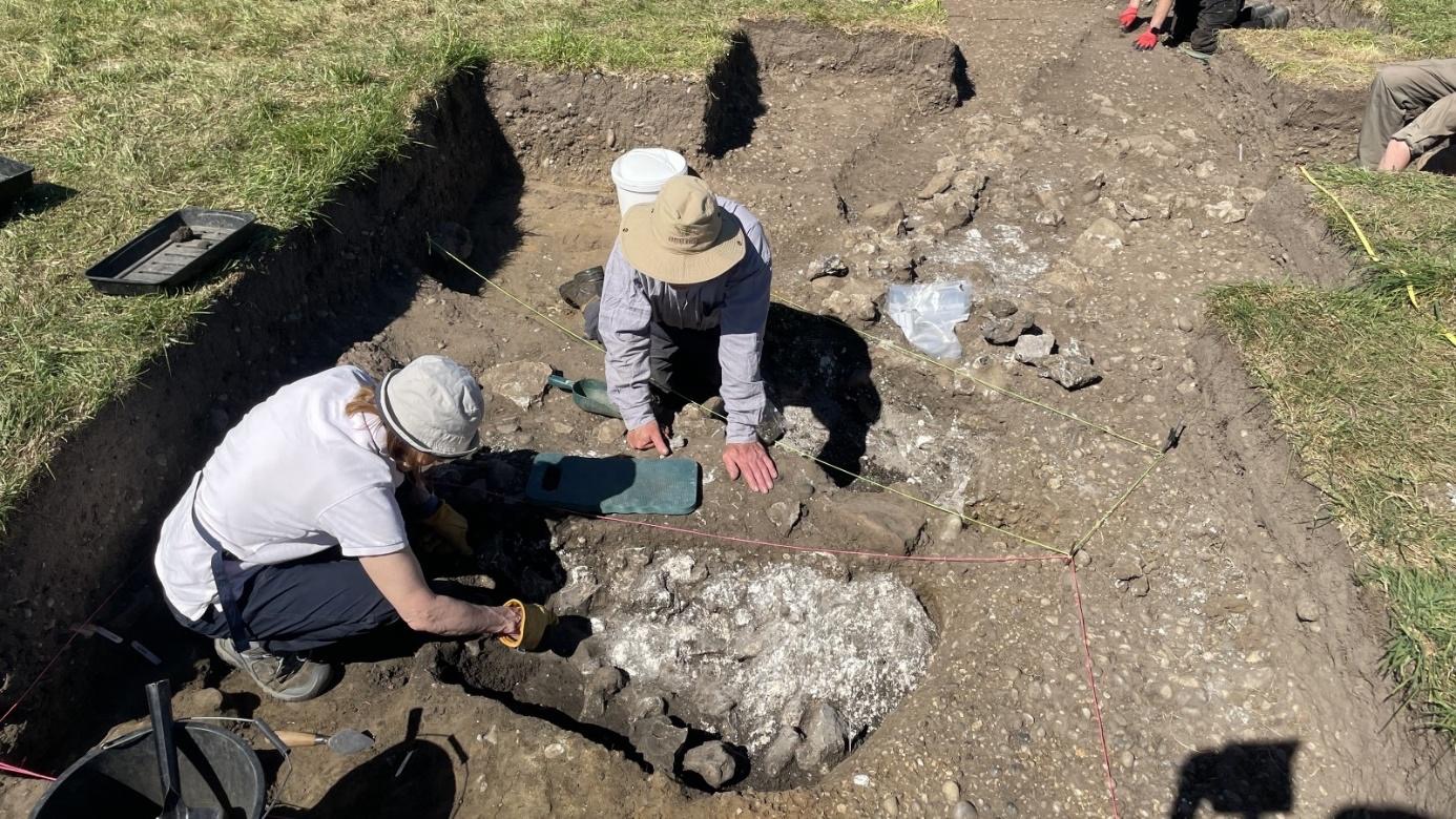
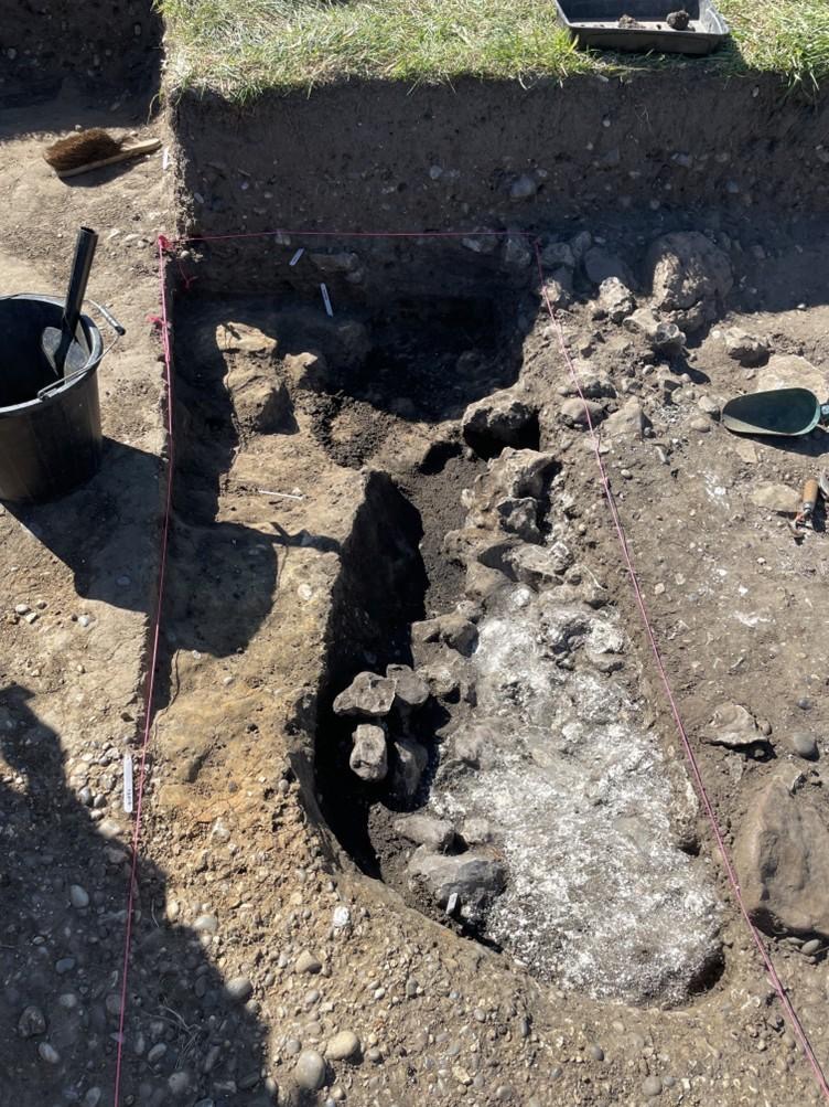
After recording the levels and photographing the contexts revealed in Trench16 the previous day, James started to dig a slot across the dark circular feature suspected of being a possible second furnace pit. However, this initial interpretation soon proved to be unlikely as the dark circular context was only a few cm deep – however, work will continue tomorrow to better understand how the rubble/chalk deposits to the east of Trench 16 relate to the flue seen in the west of the trench.
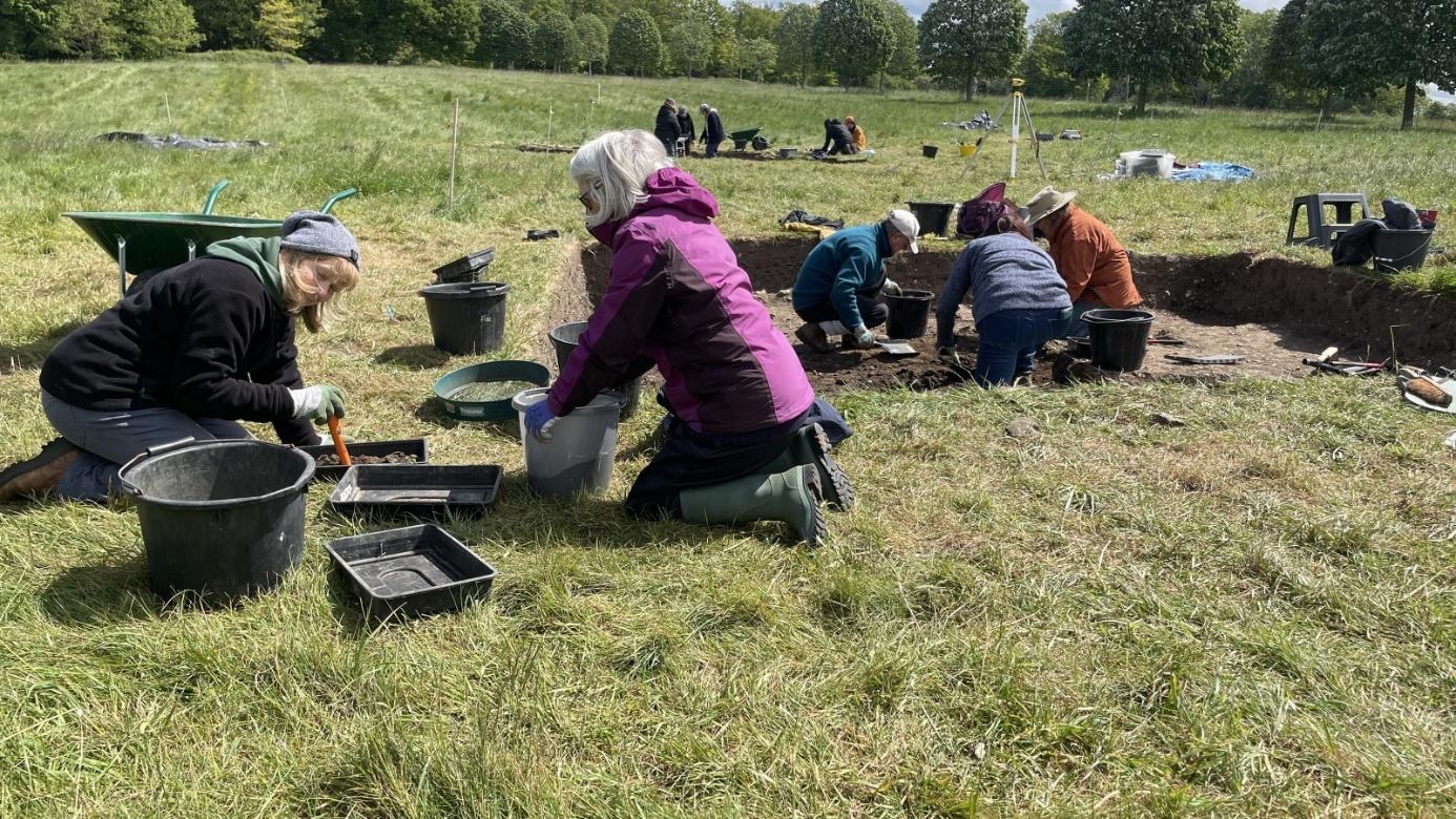
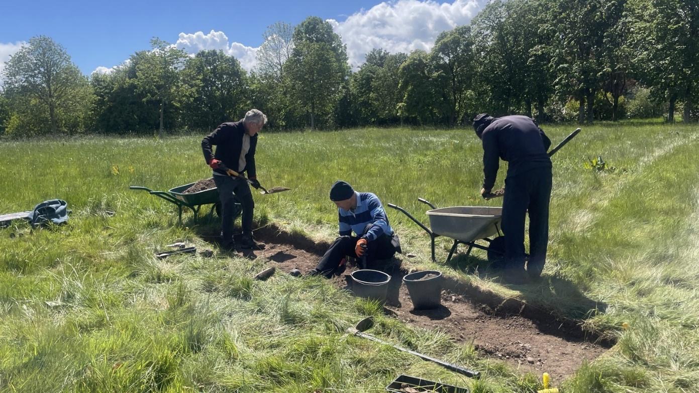
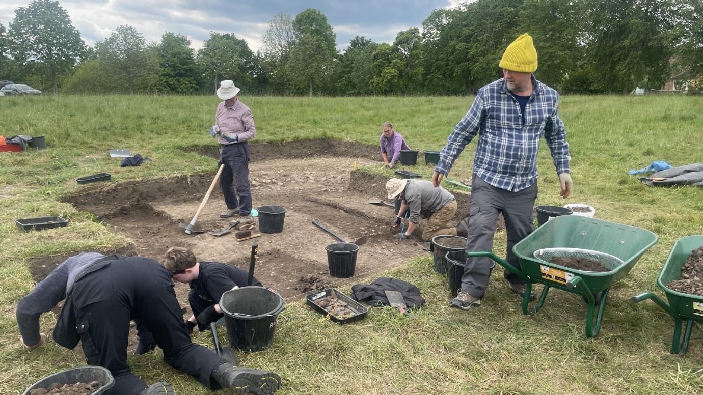
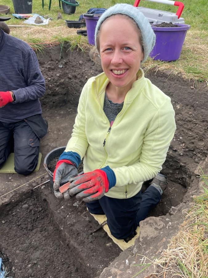
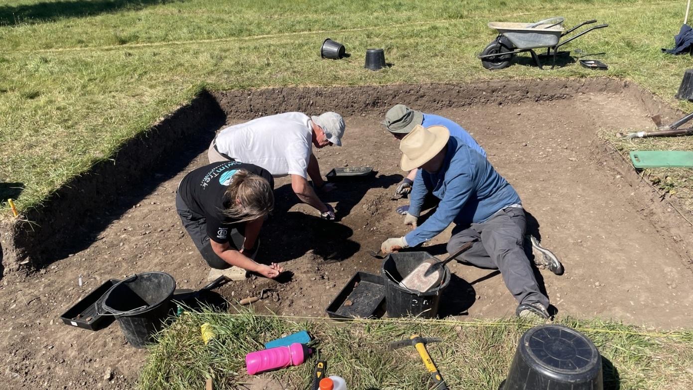
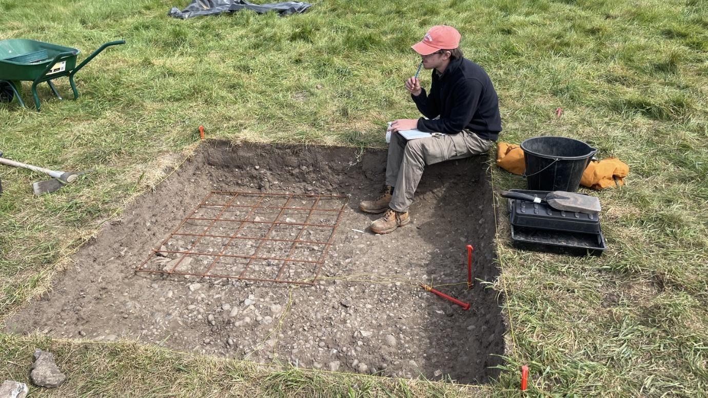
The focus for Nigel B, Garry and Thalia in the morning was to dig 1m wide benching for Trench 17 as it was close to 1.0m in depth. Once this was completed work continued to explore the midden deposits with the help of Roger who was 100% sieving the material removed.

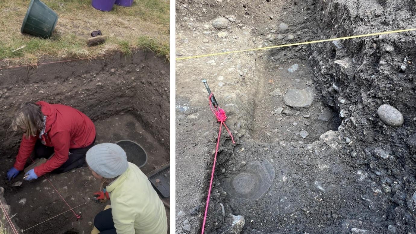
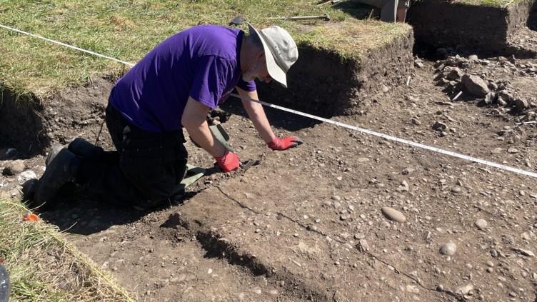
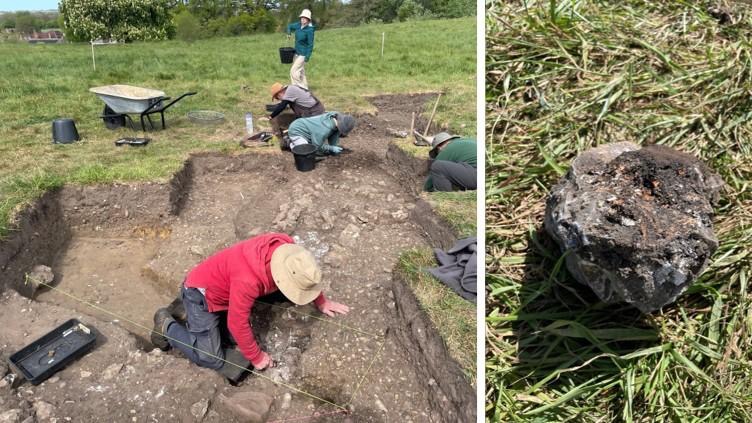
In Trench 18 Penny and Susanne cleaned the surfaces revealed the previous day and started recorded the new contexts. The orange/gravel context at the north of the trench was interpreted as being the surviving surface of the Roman road, and the darker surface to the south containing large sarsens/flints was interpreted as being the likely fill of the roadside ditch. The nature of the surface at the south of this trench is as yet unclear, but once recording is completed the next step is likely to be a 50% section of the roadside ditch to record the profile fills of the ditch south of the road.